Area Overview for SK6 4NE
Photos of SK6 4NE
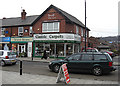

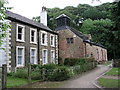
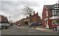

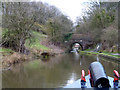
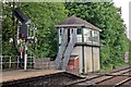


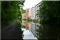
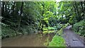
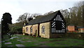
100 photos from this area
Area Information
Key information about the SK6 4NE including its size, population, and administrative classification.
- Area Type
- Postcode
- Area Size
- 2.2 hectares
- Population
- 1530
- Population Density
- 4315 people/km²
House Prices in SK6 4NE
22
Properties
£335,393
Average Sold Price
£165,000
Lowest Price
£605,000
Highest Price
Showing 22 properties
| Address | Type | Beds | Baths | Last Sale Price | Last Sale Date | |
|---|---|---|---|---|---|---|
| 11 Sandy Lane, Romiley, Stockport, SK6 4NE | Bungalow | 2 | 1 | £345,000 | Sep 2023 | |
| 13 Sandy Lane, Romiley, Stockport, SK6 4NE | Bungalow | - | - | £332,000 | Sep 2022 | |
| 2A Sandy Lane, Romiley, Stockport, SK6 4NE | house | - | - | £605,000 | Sep 2021 | |
| 9 Sandy Lane, Romiley, Stockport, SK6 4NE | Bungalow | - | - | £355,000 | Sep 2020 | |
| 2B Sandy Lane, Romiley, Stockport, SK6 4NE | Semi-detached | 5 | 4 | £577,000 | Mar 2020 | |
| 21 Sandy Lane, Romiley, Stockport, SK6 4NE | Semi-detached | 3 | 1 | £232,000 | Apr 2018 | |
| 2C Sandy Lane, Romiley, Stockport, SK6 4NE | Semi-detached | 6 | - | £539,950 | Sep 2016 | |
| 23 Sandy Lane, Romiley, Stockport, SK6 4NE | Semi-detached | 4 | 2 | £370,000 | Feb 2015 | |
| 15 Sandy Lane, Romiley, Stockport, SK6 4NE | Bungalow | 2 | - | £170,000 | Jul 2012 | |
| 6 Sandy Lane, Romiley, Stockport, SK6 4NE | house | 3 | - | £228,000 | Jun 2012 |
Page 1 of 3
Energy Efficiency in SK6 4NE
Amenities
Schools
| Rank | School | Type | Entry gender | Ages |
|---|
Explore more schools in this area
Go to Schools tabDemographics
Household Size
Family (3-5 people)
most common
Accommodation Type
Houses
most common
Tenure
87
majority
Ethnic Group
White
most common
Religion
N/A
most common
Household Composition
N/A
most common
Age
47
median
Adults (30-64 years)
most common
Household Deprivation
N/A
with no deprivation
NS-SEC
47
in Lower managerial occupations
Explore more demographic insights in this area
Go to Demographics tabPlanning
Planning Constraints
- Flood RiskPremium
- Ramsar Wetland SitesPremium
- Area of Outstanding Natural BeautyPremium
- Protected Nature ReservePremium
- Protected WoodlandPremium