Area Overview for SK6 4EU
Photos of SK6 4EU
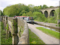
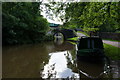

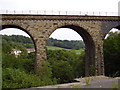

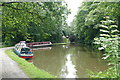
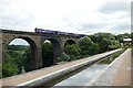
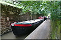
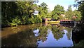
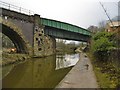
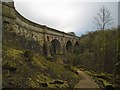
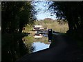
100 photos from this area
Area Information
Key information about the SK6 4EU including its size, population, and administrative classification.
- Area Type
- Postcode
- Area Size
- 9090 m²
- Population
- 1528
- Population Density
- 1962 people/km²
House Prices in SK6 4EU
29
Properties
£142,422
Average Sold Price
£21,660
Lowest Price
£288,000
Highest Price
Showing 29 properties
| Address | Type | Beds | Baths | Last Sale Price | Last Sale Date | |
|---|---|---|---|---|---|---|
| 33 Kinder Grove, Romiley, Stockport, SK6 4EU | Semi-detached | 3 | 1 | £283,544 | Sep 2025 | |
| 20 Kinder Grove, Romiley, Stockport, SK6 4EU | house | - | - | £225,000 | Oct 2023 | |
| 15 Kinder Grove, Romiley, Stockport, SK6 4EU | house | 3 | - | £225,000 | Nov 2021 | |
| 4 Kinder Grove, Romiley, Stockport, SK6 4EU | Semi-detached | 4 | 1 | £288,000 | Sep 2020 | |
| 2 Kinder Grove, Romiley, Stockport, SK6 4EU | Semi-detached | 3 | 1 | £175,000 | Mar 2018 | |
| 18 Kinder Grove, Romiley, Stockport, SK6 4EU | Semi-detached | 3 | 1 | £166,000 | Dec 2017 | |
| 5 Kinder Grove, Romiley, Stockport, SK6 4EU | house | - | - | £182,000 | Oct 2017 | |
| 13 Kinder Grove, Romiley, Stockport, SK6 4EU | Semi-detached | 3 | 1 | £113,500 | Feb 2015 | |
| 27 Kinder Grove, Romiley, Stockport, SK6 4EU | Semi-detached | - | - | £127,500 | Aug 2008 | |
| 22 Kinder Grove, Romiley, Stockport, SK6 4EU | house | - | - | £116,000 | Jan 2008 |
Page 1 of 3
Energy Efficiency in SK6 4EU
Amenities
Schools
| Rank | School | Type | Entry gender | Ages |
|---|
Explore more schools in this area
Go to Schools tabDemographics
Household Size
Family (3-5 people)
most common
Accommodation Type
Houses
most common
Tenure
69
majority
Ethnic Group
White
most common
Religion
N/A
most common
Household Composition
N/A
most common
Age
47
median
Adults (30-64 years)
most common
Household Deprivation
N/A
with no deprivation
NS-SEC
31
in Lower managerial occupations
Explore more demographic insights in this area
Go to Demographics tabPlanning
Planning Constraints
- Flood RiskPremium
- Ramsar Wetland SitesPremium
- Area of Outstanding Natural BeautyPremium
- Protected Nature ReservePremium
- Protected WoodlandPremium