Area Overview for SK6 1QJ
Photos of SK6 1QJ
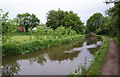
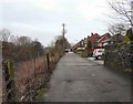
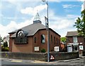
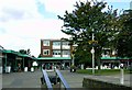
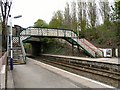
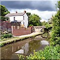
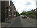
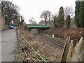
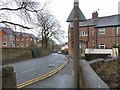
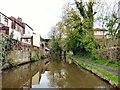

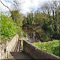
100 photos from this area
Area Information
Key information about the SK6 1QJ including its size, population, and administrative classification.
- Area Type
- Postcode
- Area Size
- 2.2 hectares
- Population
- 1554
- Population Density
- 594 people/km²
House Prices in SK6 1QJ
44
Properties
£110,293
Average Sold Price
£22,950
Lowest Price
£350,000
Highest Price
Showing 44 properties
| Address | Type | Beds | Baths | Last Sale Price | Last Sale Date | |
|---|---|---|---|---|---|---|
| 71 Mill Lane, Woodley, Stockport, SK6 1QJ | Flat | 2 | 1 | £65,000 | May 2025 | |
| 68 Mill Lane, Woodley, Stockport, SK6 1QJ | Semi-detached | 2 | 1 | £212,500 | Mar 2025 | |
| 76 Mill Lane, Woodley, Stockport, SK6 1QJ | Semi-detached | 3 | 1 | £232,000 | Dec 2024 | |
| 73 Mill Lane, Woodley, Stockport, SK6 1QJ | Flat | - | - | £125,000 | Jan 2024 | |
| 17 Mill Lane, Woodley, Stockport, SK6 1QJ | Bungalow | 2 | 1 | £350,000 | Oct 2022 | |
| 74 Mill Lane, Woodley, Stockport, SK6 1QJ | Semi-detached | 2 | 1 | £220,000 | Mar 2022 | |
| 61 Mill Lane, Woodley, Stockport, SK6 1QJ | Flat | - | - | £70,000 | Sep 2021 | |
| 63 Mill Lane, Woodley, Stockport, SK6 1QJ | Maisonette | - | - | £57,500 | Sep 2021 | |
| 67 Mill Lane, Woodley, Stockport, SK6 1QJ | Flat | 2 | 1 | £80,000 | Apr 2021 | |
| 72 Mill Lane, Woodley, Stockport, SK6 1QJ | Semi-detached | 2 | 1 | £155,000 | Sep 2019 |
Page 1 of 5
Energy Efficiency in SK6 1QJ
Amenities
Schools
| Rank | School | Type | Entry gender | Ages |
|---|
Explore more schools in this area
Go to Schools tabDemographics
Household Size
One person
most common
Accommodation Type
Houses
most common
Tenure
69
majority
Ethnic Group
White
most common
Religion
N/A
most common
Household Composition
N/A
most common
Age
47
median
Adults (30-64 years)
most common
Household Deprivation
N/A
with no deprivation
NS-SEC
23
in Lower managerial occupations
Explore more demographic insights in this area
Go to Demographics tabPlanning
Planning Constraints
- Flood RiskPremium
- Ramsar Wetland SitesPremium
- Area of Outstanding Natural BeautyPremium
- Protected Nature ReservePremium
- Protected WoodlandPremium