Area Overview for SK6 1DW
Photos of SK6 1DW
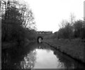

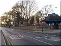
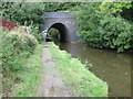
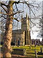
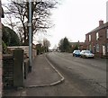
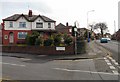
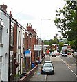
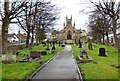
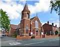
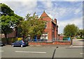
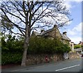
93 photos from this area
Area Information
Key information about the SK6 1DW including its size, population, and administrative classification.
- Area Type
- Postcode
- Area Size
- 1.2 hectares
- Population
- 1405
- Population Density
- 4613 people/km²
House Prices in SK6 1DW
34
Properties
£143,113
Average Sold Price
£23,000
Lowest Price
£310,000
Highest Price
Showing 34 properties
| Address | Type | Beds | Baths | Last Sale Price | Last Sale Date | |
|---|---|---|---|---|---|---|
| 12 Ruskin Grove, Bredbury, Stockport, SK6 1DW | Semi-detached | 2 | 1 | £235,000 | Mar 2025 | |
| 2 Ruskin Grove, Bredbury, Stockport, SK6 1DW | Semi-detached | 3 | 2 | £310,000 | Jun 2024 | |
| 60 Ruskin Grove, Bredbury, Stockport, SK6 1DW | Semi-detached | 3 | 2 | £257,500 | Jul 2023 | |
| 64 Ruskin Grove, Bredbury, Stockport, SK6 1DW | Retail | 2 | 1 | £215,000 | Oct 2022 | |
| 40 Ruskin Grove, Bredbury, Stockport, SK6 1DW | house | - | - | £162,000 | Dec 2018 | |
| 42 Ruskin Grove, Bredbury, Stockport, SK6 1DW | Semi-detached | 3 | 1 | £133,000 | Sep 2015 | |
| 68 Ruskin Grove, Bredbury, Stockport, SK6 1DW | house | 3 | - | £125,000 | Sep 2012 | |
| 50 Ruskin Grove, Bredbury, Stockport, SK6 1DW | Detached | 3 | 1 | £139,000 | May 2008 | |
| 54 Ruskin Grove, Bredbury, Stockport, SK6 1DW | Semi-detached | 2 | 1 | £129,950 | May 2007 | |
| 14 Ruskin Grove, Bredbury, Stockport, SK6 1DW | Semi-detached | - | - | £124,950 | Jun 2005 |
Page 1 of 4
Energy Efficiency in SK6 1DW
Amenities
Schools
| Rank | School | Type | Entry gender | Ages |
|---|
Explore more schools in this area
Go to Schools tabDemographics
Household Size
One person
most common
Accommodation Type
Houses
most common
Tenure
58
majority
Ethnic Group
White
most common
Religion
N/A
most common
Household Composition
N/A
most common
Age
47
median
Adults (30-64 years)
most common
Household Deprivation
N/A
with no deprivation
NS-SEC
27
in Lower managerial occupations
Explore more demographic insights in this area
Go to Demographics tabPlanning
Planning Constraints
- Flood RiskPremium
- Ramsar Wetland SitesPremium
- Area of Outstanding Natural BeautyPremium
- Protected Nature ReservePremium
- Protected WoodlandPremium