Area Overview for SK5 7LN
Photos of SK5 7LN
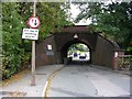
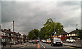
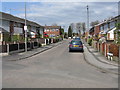
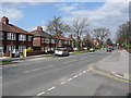
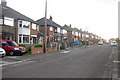
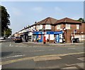
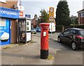
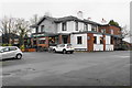
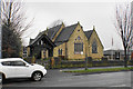
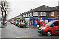
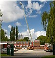
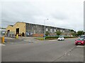
31 photos from this area
Area Information
Key information about the SK5 7LN including its size, population, and administrative classification.
- Area Type
- Postcode
- Area Size
- 2.3 hectares
- Population
- 1549
- Population Density
- 2373 people/km²
House Prices in SK5 7LN
57
Properties
£145,743
Average Sold Price
£36,000
Lowest Price
£765,000
Highest Price
Showing 57 properties
| Address | Type | Beds | Baths | Last Sale Price | Last Sale Date | |
|---|---|---|---|---|---|---|
| 92 Greg Street, South Reddish, Stockport, SK5 7LN | Terraced | 3 | 1 | £260,000 | Feb 2025 | |
| 147 Greg Street, South Reddish, Stockport, SK5 7LN | Retail | 3 | 1 | £240,000 | Jun 2022 | |
| 96 Greg Street, South Reddish, Stockport, SK5 7LN | Semi-detached | 2 | 1 | £267,500 | Jun 2022 | |
| 82 Greg Street, South Reddish, Stockport, SK5 7LN | house | - | - | £210,000 | Apr 2022 | |
| 151 Greg Street, South Reddish, Stockport, SK5 7LN | house | - | - | £156,000 | Jun 2021 | |
| 97A Greg Street, South Reddish, Stockport, SK5 7LN | house | - | - | £150,000 | Nov 2020 | |
| 137 Greg Street, South Reddish, Stockport, SK5 7LN | Terraced | 3 | 1 | £210,000 | Mar 2020 | |
| 100 Greg Street, South Reddish, Stockport, SK5 7LN | Semi-detached | 2 | 1 | £167,700 | Jul 2019 | |
| 157 Greg Street, South Reddish, Stockport, SK5 7LN | Terraced | 2 | 1 | £155,000 | Jun 2019 | |
| 105 Greg Street, South Reddish, Stockport, SK5 7LN | house | - | - | £149,950 | May 2019 |
Page 1 of 6
Energy Efficiency in SK5 7LN
Amenities
Schools
| Rank | School | Type | Entry gender | Ages |
|---|
Explore more schools in this area
Go to Schools tabDemographics
Household Size
One person
most common
Accommodation Type
Houses
most common
Tenure
56
majority
Ethnic Group
White
most common
Religion
N/A
most common
Household Composition
N/A
most common
Age
47
median
Adults (30-64 years)
most common
Household Deprivation
N/A
with no deprivation
NS-SEC
27
in Lower managerial occupations
Explore more demographic insights in this area
Go to Demographics tabPlanning
Planning Constraints
- Flood RiskPremium
- Ramsar Wetland SitesPremium
- Area of Outstanding Natural BeautyPremium
- Protected Nature ReservePremium
- Protected WoodlandPremium