Area Overview for SK4 5AL
Photos of SK4 5AL
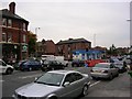
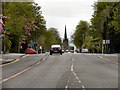
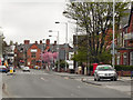
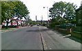
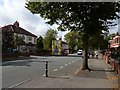
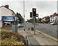
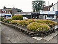
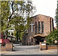
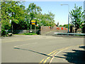
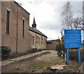

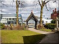
89 photos from this area
Area Information
Key information about the SK4 5AL including its size, population, and administrative classification.
- Area Type
- Postcode
- Area Size
- 5659 m²
- Population
- 1593
- Population Density
- 3188 people/km²
House Prices in SK4 5AL
13
Properties
£319,158
Average Sold Price
£108,000
Lowest Price
£575,000
Highest Price
Showing 13 properties
| Address | Type | Beds | Baths | Last Sale Price | Last Sale Date | |
|---|---|---|---|---|---|---|
| 13 Woodbourne Road, Heaton Chapel, Stockport, SK4 5AL | house | - | - | £575,000 | Jun 2022 | |
| 9 Woodbourne Road, Heaton Chapel, Stockport, SK4 5AL | house | - | - | £555,000 | Jan 2022 | |
| 11 Woodbourne Road, Heaton Chapel, Stockport, SK4 5AL | Semi-detached | 4 | - | £312,000 | Mar 2017 | |
| 8 Woodbourne Road, Heaton Chapel, Stockport, SK4 5AL | Semi-detached | - | - | £388,000 | Dec 2016 | |
| 4 Woodbourne Road, Heaton Chapel, Stockport, SK4 5AL | house | - | - | £338,000 | Sep 2015 | |
| 1 Woodbourne Road, Heaton Chapel, Stockport, SK4 5AL | Detached | 4 | 2 | £465,000 | Sep 2015 | |
| 5 Woodbourne Road, Heaton Chapel, Stockport, SK4 5AL | Detached | 5 | 3 | £445,000 | May 2014 | |
| 15 Woodbourne Road, Heaton Chapel, Stockport, SK4 5AL | Detached | - | - | £244,950 | Apr 2003 | |
| 6 Woodbourne Road, Heaton Chapel, Stockport, SK4 5AL | Semi-detached | - | - | £139,000 | May 2001 | |
| 12 Woodbourne Road, Heaton Chapel, Stockport, SK4 5AL | Semi-detached | - | - | £126,000 | Sep 2000 |
Page 1 of 2
Energy Efficiency in SK4 5AL
Amenities
Schools
| Rank | School | Type | Entry gender | Ages |
|---|
Explore more schools in this area
Go to Schools tabDemographics
Household Size
Family (3-5 people)
most common
Accommodation Type
Houses
most common
Tenure
84
majority
Ethnic Group
White
most common
Religion
N/A
most common
Household Composition
N/A
most common
Age
47
median
Adults (30-64 years)
most common
Household Deprivation
N/A
with no deprivation
NS-SEC
40
in Lower managerial occupations
Explore more demographic insights in this area
Go to Demographics tabPlanning
Planning Constraints
- Flood RiskPremium
- Ramsar Wetland SitesPremium
- Area of Outstanding Natural BeautyPremium
- Protected Nature ReservePremium
- Protected WoodlandPremium