Area Overview for SK4 4JW
Photos of SK4 4JW
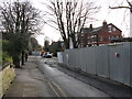
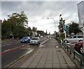
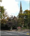
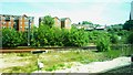


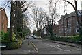
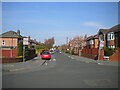
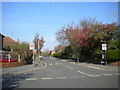
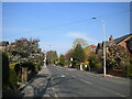

58 photos from this area
Area Information
Key information about the SK4 4JW including its size, population, and administrative classification.
- Area Type
- Postcode
- Area Size
- 1.3 hectares
- Population
- 1411
- Population Density
- 6012 people/km²
House Prices in SK4 4JW
47
Properties
£486,700
Average Sold Price
£250,000
Lowest Price
£895,000
Highest Price
Showing 47 properties
| Address | Type | Beds | Baths | Last Sale Price | Last Sale Date | |
|---|---|---|---|---|---|---|
| 67 Parsonage Road, Heaton Moor, Stockport, SK4 4JW | house | - | - | £895,000 | Feb 2022 | |
| 25 Parsonage Road, Heaton Moor, Stockport, SK4 4JW | Terraced | 5 | 1 | £472,000 | Jul 2014 | |
| 51 Parsonage Road, Heaton Moor, Stockport, SK4 4JW | house | - | - | £575,000 | May 2010 | |
| 27 Parsonage Road, Heaton Moor, Stockport, SK4 4JW | Terraced | - | - | £486,000 | Nov 2009 | |
| 47 Parsonage Road, Heaton Moor, Stockport, SK4 4JW | Semi-detached | - | - | £455,000 | Mar 2008 | |
| 59 Parsonage Road, Heaton Moor, Stockport, SK4 4JW | Semi-detached | - | - | £525,000 | Jan 2008 | |
| 57 Parsonage Road, Heaton Moor, Stockport, SK4 4JW | Semi-detached | - | - | £408,000 | Jul 2006 | |
| 63 Parsonage Road, Heaton Moor, Stockport, SK4 4JW | house | - | - | £320,000 | Jun 2006 | |
| 49 Parsonage Road, Heaton Moor, Stockport, SK4 4JW | Semi-detached | - | - | £481,000 | Aug 2004 | |
| 31 Parsonage Road, Heaton Moor, Stockport, SK4 4JW | Flat | - | - | £250,000 | Jan 2003 |
Page 1 of 5
Energy Efficiency in SK4 4JW
Amenities
Schools
| Rank | School | Type | Entry gender | Ages |
|---|
Explore more schools in this area
Go to Schools tabDemographics
Household Size
One person
most common
Accommodation Type
Houses
most common
Tenure
65
majority
Ethnic Group
White
most common
Religion
N/A
most common
Household Composition
N/A
most common
Age
47
median
Adults (30-64 years)
most common
Household Deprivation
N/A
with no deprivation
NS-SEC
55
in Lower managerial occupations
Explore more demographic insights in this area
Go to Demographics tabPlanning
Planning Constraints
- Flood RiskPremium
- Ramsar Wetland SitesPremium
- Area of Outstanding Natural BeautyPremium
- Protected Nature ReservePremium
- Protected WoodlandPremium