Area Overview for SK4 3PU
Photos of SK4 3PU
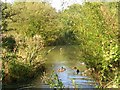
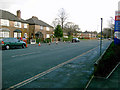

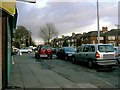
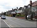
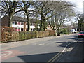
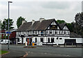
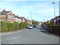
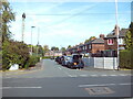
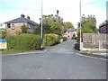
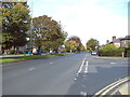
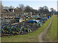
34 photos from this area
Area Information
Key information about the SK4 3PU including its size, population, and administrative classification.
- Area Type
- Postcode
- Area Size
- 1.4 hectares
- Population
- 1522
- Population Density
- 3251 people/km²
House Prices in SK4 3PU
25
Properties
£288,077
Average Sold Price
£81,000
Lowest Price
£580,000
Highest Price
Showing 25 properties
| Address | Type | Beds | Baths | Last Sale Price | Last Sale Date | |
|---|---|---|---|---|---|---|
| 25 Alwinton Avenue, Heaton Moor, Stockport, SK4 3PU | house | 4 | 2 | £440,000 | Nov 2023 | |
| 18 Alwinton Avenue, Heaton Moor, Stockport, SK4 3PU | house | - | - | £580,000 | Aug 2023 | |
| 9 Alwinton Avenue, Heaton Moor, Stockport, SK4 3PU | house | - | - | £536,000 | Sep 2021 | |
| 7 Alwinton Avenue, Heaton Moor, Stockport, SK4 3PU | house | - | - | £369,950 | Jul 2020 | |
| 21 Alwinton Avenue, Heaton Moor, Stockport, SK4 3PU | house | - | - | £345,000 | Sep 2018 | |
| 6 Alwinton Avenue, Heaton Moor, Stockport, SK4 3PU | Bungalow | 2 | 1 | £280,000 | Sep 2018 | |
| 12 Alwinton Avenue, Heaton Moor, Stockport, SK4 3PU | Bungalow | - | - | £265,000 | Jun 2018 | |
| 33 Alwinton Avenue, Heaton Moor, Stockport, SK4 3PU | Detached | 4 | 1 | £380,000 | Dec 2017 | |
| 5 Alwinton Avenue, Heaton Moor, Stockport, SK4 3PU | house | - | - | £308,000 | Mar 2016 | |
| 14 Alwinton Avenue, Heaton Moor, Stockport, SK4 3PU | Detached | 4 | - | £315,000 | May 2015 |
Page 1 of 3
Energy Efficiency in SK4 3PU
Amenities
Schools
| Rank | School | Type | Entry gender | Ages |
|---|
Explore more schools in this area
Go to Schools tabDemographics
Household Size
Family (3-5 people)
most common
Accommodation Type
Houses
most common
Tenure
89
majority
Ethnic Group
White
most common
Religion
N/A
most common
Household Composition
N/A
most common
Age
47
median
Adults (30-64 years)
most common
Household Deprivation
N/A
with no deprivation
NS-SEC
44
in Lower managerial occupations
Explore more demographic insights in this area
Go to Demographics tabPlanning
Planning Constraints
- Flood RiskPremium
- Ramsar Wetland SitesPremium
- Area of Outstanding Natural BeautyPremium
- Protected Nature ReservePremium
- Protected WoodlandPremium