Area Overview for SK4 2RA
Photos of SK4 2RA
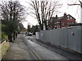
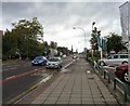
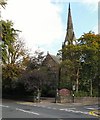
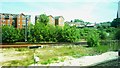
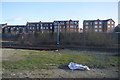
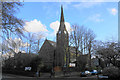
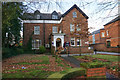
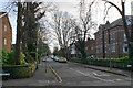
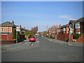
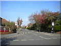
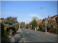
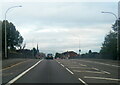
58 photos from this area
Area Information
Key information about the SK4 2RA including its size, population, and administrative classification.
- Area Type
- Postcode
- Area Size
- 1.3 hectares
- Population
- 1719
- Population Density
- 4960 people/km²
House Prices in SK4 2RA
26
Properties
£249,971
Average Sold Price
£50,000
Lowest Price
£505,000
Highest Price
Showing 26 properties
| Address | Type | Beds | Baths | Last Sale Price | Last Sale Date | |
|---|---|---|---|---|---|---|
| 42 Denby Lane, Heaton Chapel, Stockport, SK4 2RA | Semi-detached | 5 | 2 | £505,000 | Aug 2021 | |
| 44 Denby Lane, Heaton Chapel, Stockport, SK4 2RA | house | - | - | £370,000 | Jun 2021 | |
| 48 Denby Lane, Heaton Chapel, Stockport, SK4 2RA | house | 3 | - | £460,000 | Dec 2019 | |
| 45-47 Denby Lane, Heaton Chapel, Stockport, SK4 2RA | house | - | - | £292,000 | Jun 2015 | |
| 39 Denby Lane, Heaton Chapel, Stockport, SK4 2RA | Semi-detached | 3 | - | £185,000 | Sep 2014 | |
| 30 Denby Lane, Heaton Chapel, Stockport, SK4 2RA | Semi-detached | 3 | 1 | £278,566 | Jun 2013 | |
| 36 Denby Lane, Heaton Chapel, Stockport, SK4 2RA | Semi-detached | - | - | £199,000 | May 2012 | |
| 35 Denby Lane, Heaton Chapel, Stockport, SK4 2RA | Detached | 4 | - | £235,000 | Oct 2010 | |
| 41 Denby Lane, Heaton Chapel, Stockport, SK4 2RA | Retail | 2 | 1 | £178,000 | Apr 2007 | |
| 38 Denby Lane, Heaton Chapel, Stockport, SK4 2RA | Semi-detached | - | - | £181,000 | Feb 2006 |
Page 1 of 3
Energy Efficiency in SK4 2RA
Amenities
Schools
| Rank | School | Type | Entry gender | Ages |
|---|
Explore more schools in this area
Go to Schools tabDemographics
Household Size
One person
most common
Accommodation Type
Houses
most common
Tenure
75
majority
Ethnic Group
White
most common
Religion
N/A
most common
Household Composition
N/A
most common
Age
47
median
Adults (30-64 years)
most common
Household Deprivation
N/A
with no deprivation
NS-SEC
53
in Lower managerial occupations
Explore more demographic insights in this area
Go to Demographics tabPlanning
Planning Constraints
- Flood RiskPremium
- Ramsar Wetland SitesPremium
- Area of Outstanding Natural BeautyPremium
- Protected Nature ReservePremium
- Protected WoodlandPremium