Area Overview for SK2 6JD
Photos of SK2 6JD
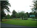
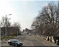

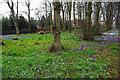
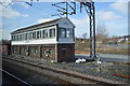
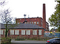
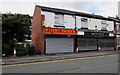
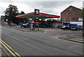
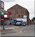
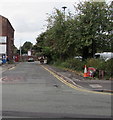
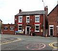
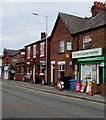
73 photos from this area
Area Information
Key information about the SK2 6JD including its size, population, and administrative classification.
- Area Type
- Postcode
- Area Size
- 5843 m²
- Population
- 1642
- Population Density
- 4237 people/km²
House Prices in SK2 6JD
24
Properties
£189,600
Average Sold Price
£72,000
Lowest Price
£455,000
Highest Price
Showing 24 properties
| Address | Type | Beds | Baths | Last Sale Price | Last Sale Date | |
|---|---|---|---|---|---|---|
| 116 Bramhall Lane, Cale Green, Stockport, SK2 6JD | house | - | - | £455,000 | Jun 2021 | |
| 229A Bramhall Lane, Cale Green, Stockport, SK2 6JD | Flat | - | - | £226,000 | Jan 2020 | |
| 219A Bramhall Lane, Cale Green, Stockport, SK2 6JD | Flat | - | - | £120,000 | Mar 2015 | |
| 233A Bramhall Lane, Cale Green, Stockport, SK2 6JD | Unknown | - | - | £72,000 | Jan 2001 | |
| 114 Bramhall Lane, Cale Green, Stockport, SK2 6JD | Semi-detached | - | - | £75,000 | Aug 1996 | |
| Basement Flat, 110 Bramhall Lane, Cale Green, Stockport, SK2 6JD | Flat | - | - | - | - | |
| Flat Above, 233 Bramhall Lane, Cale Green, Stockport, SK2 6JD | retail_financial | - | - | - | - | |
| 231A Bramhall Lane, Cale Green, Stockport, SK2 6JD | Flat | - | - | - | - | |
| Flat A, 106 Bramhall Lane, Cale Green, Stockport, SK2 6JD | Flat | - | - | - | - | |
| Flat B, 104 Bramhall Lane, Cale Green, Stockport, SK2 6JD | Maisonette | - | - | - | - |
Page 1 of 3
Energy Efficiency in SK2 6JD
Amenities
Schools
| Rank | School | Type | Entry gender | Ages |
|---|
Explore more schools in this area
Go to Schools tabDemographics
Household Size
One person
most common
Accommodation Type
Flats
most common
Tenure
57
majority
Ethnic Group
White
most common
Religion
N/A
most common
Household Composition
N/A
most common
Age
47
median
Adults (30-64 years)
most common
Household Deprivation
N/A
with no deprivation
NS-SEC
41
in Lower managerial occupations
Explore more demographic insights in this area
Go to Demographics tabPlanning
Planning Constraints
- Flood RiskPremium
- Ramsar Wetland SitesPremium
- Area of Outstanding Natural BeautyPremium
- Protected Nature ReservePremium
- Protected WoodlandPremium