Area Overview for SK16 5JD
Photos of SK16 5JD
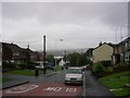
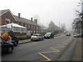
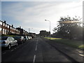
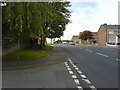
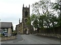
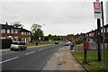
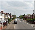
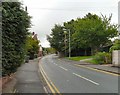
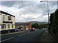
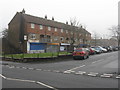
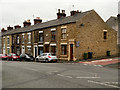
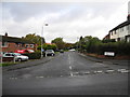
32 photos from this area
Area Information
Key information about the SK16 5JD including its size, population, and administrative classification.
- Area Type
- Postcode
- Area Size
- 1.5 hectares
- Population
- 1307
- Population Density
- 4376 people/km²
House Prices in SK16 5JD
21
Properties
£119,783
Average Sold Price
£50,000
Lowest Price
£215,000
Highest Price
Showing 21 properties
| Address | Type | Beds | Baths | Last Sale Price | Last Sale Date | |
|---|---|---|---|---|---|---|
| 1 Maurice Close, Dukinfield, SK16 5JD | Semi-detached | 2 | 1 | £200,000 | Apr 2023 | |
| 10 Maurice Close, Dukinfield, SK16 5JD | Semi-detached | 2 | 2 | £120,000 | Jul 2021 | |
| 9 Maurice Close, Dukinfield, SK16 5JD | Detached | 2 | 1 | £215,000 | Feb 2018 | |
| 20 Maurice Close, Dukinfield, SK16 5JD | Semi-detached | 3 | - | £120,000 | Aug 2016 | |
| 24 Maurice Close, Dukinfield, SK16 5JD | Bungalow | - | - | £138,000 | Jan 2013 | |
| 18 Maurice Close, Dukinfield, SK16 5JD | Bungalow | 3 | - | £149,000 | Jun 2010 | |
| 26 Maurice Close, Dukinfield, SK16 5JD | Detached | 3 | 1 | £155,950 | May 2007 | |
| 30 Maurice Close, Dukinfield, SK16 5JD | Semi-detached | - | - | £102,500 | Oct 2003 | |
| 28 Maurice Close, Dukinfield, SK16 5JD | Semi-detached | - | - | £50,000 | Apr 2001 | |
| 12 Maurice Close, Dukinfield, SK16 5JD | Terraced | - | - | £66,950 | Apr 2000 |
Page 1 of 3
Energy Efficiency in SK16 5JD
Amenities
Schools
| Rank | School | Type | Entry gender | Ages |
|---|
Explore more schools in this area
Go to Schools tabDemographics
Household Size
Two person
most common
Accommodation Type
Houses
most common
Tenure
70
majority
Ethnic Group
White
most common
Religion
N/A
most common
Household Composition
N/A
most common
Age
47
median
Adults (30-64 years)
most common
Household Deprivation
N/A
with no deprivation
NS-SEC
28
in Lower managerial occupations
Explore more demographic insights in this area
Go to Demographics tabPlanning
Planning Constraints
- Flood RiskPremium
- Ramsar Wetland SitesPremium
- Area of Outstanding Natural BeautyPremium
- Protected Nature ReservePremium
- Protected WoodlandPremium