Area Overview for SK16 4DP
Photos of SK16 4DP

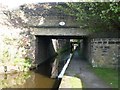
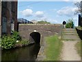
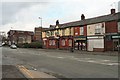
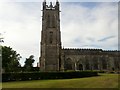
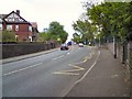
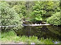
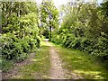
100 photos from this area
Area Information
Key information about the SK16 4DP including its size, population, and administrative classification.
- Area Type
- Postcode
- Area Size
- 9360 m²
- Population
- 1961
- Population Density
- 6043 people/km²
House Prices in SK16 4DP
53
Properties
£73,305
Average Sold Price
£39,950
Lowest Price
£108,000
Highest Price
Showing 53 properties
| Address | Type | Beds | Baths | Last Sale Price | Last Sale Date | |
|---|---|---|---|---|---|---|
| 54 Combermere Street, Dukinfield, SK16 4DP | Terraced | 2 | 1 | £108,000 | Oct 2020 | |
| 60 Combermere Street, Dukinfield, SK16 4DP | Terraced | 2 | 1 | £100,000 | Dec 2019 | |
| 56 Combermere Street, Dukinfield, SK16 4DP | house | 2 | - | £91,500 | Sep 2019 | |
| 58 Combermere Street, Dukinfield, SK16 4DP | Terraced | 2 | 1 | £99,400 | May 2019 | |
| 64 Combermere Street, Dukinfield, SK16 4DP | house | - | - | £74,000 | Apr 2016 | |
| 33 Combermere Street, Dukinfield, SK16 4DP | Maisonette | 2 | 1 | £60,000 | Mar 2015 | |
| 68 Combermere Street, Dukinfield, SK16 4DP | Terraced | - | - | £80,000 | Mar 2013 | |
| 66 Combermere Street, Dukinfield, SK16 4DP | Terraced | - | - | £45,000 | May 2011 | |
| 62 Combermere Street, Dukinfield, SK16 4DP | Terraced | - | - | £57,500 | Jul 2010 | |
| 52 Combermere Street, Dukinfield, SK16 4DP | Terraced | 2 | 1 | £51,000 | Jul 2003 |
Page 1 of 6
Energy Efficiency in SK16 4DP
Amenities
Schools
| Rank | School | Type | Entry gender | Ages |
|---|
Explore more schools in this area
Go to Schools tabDemographics
Household Size
Two person
most common
Accommodation Type
Houses
most common
Tenure
64
majority
Ethnic Group
White
most common
Religion
N/A
most common
Household Composition
N/A
most common
Age
47
median
Adults (30-64 years)
most common
Household Deprivation
N/A
with no deprivation
NS-SEC
29
in Lower managerial occupations
Explore more demographic insights in this area
Go to Demographics tabPlanning
Planning Constraints
- Flood RiskPremium
- Ramsar Wetland SitesPremium
- Area of Outstanding Natural BeautyPremium
- Protected Nature ReservePremium
- Protected WoodlandPremium