Area Overview for SK15 1UA
Photos of SK15 1UA
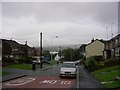
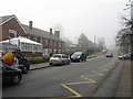
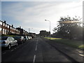
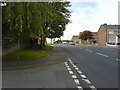
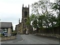
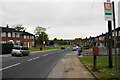
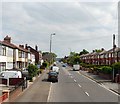
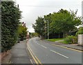
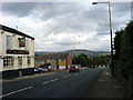
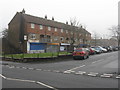
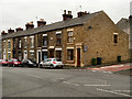
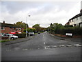
32 photos from this area
Area Information
Key information about the SK15 1UA including its size, population, and administrative classification.
- Area Type
- Postcode
- Area Size
- 1.3 hectares
- Population
- 1316
- Population Density
- 4219 people/km²
House Prices in SK15 1UA
32
Properties
£151,398
Average Sold Price
£63,000
Lowest Price
£270,000
Highest Price
Showing 32 properties
| Address | Type | Beds | Baths | Last Sale Price | Last Sale Date | |
|---|---|---|---|---|---|---|
| 9 Maple Avenue, Stalybridge, SK15 1UA | Bungalow | 2 | 1 | £270,000 | Dec 2024 | |
| 26 Maple Avenue, Stalybridge, SK15 1UA | Bungalow | - | - | £200,000 | Jul 2022 | |
| 8 Maple Avenue, Stalybridge, SK15 1UA | Semi-detached | 3 | 1 | £200,000 | Jul 2021 | |
| 38 Maple Avenue, Stalybridge, SK15 1UA | Bungalow | - | - | £170,000 | May 2021 | |
| 28 Maple Avenue, Stalybridge, SK15 1UA | Semi-detached | 2 | 1 | £175,000 | Sep 2019 | |
| 14 Maple Avenue, Stalybridge, SK15 1UA | Terraced | - | - | £140,000 | Feb 2019 | |
| 5 Maple Avenue, Stalybridge, SK15 1UA | Detached | 3 | 1 | £147,000 | May 2018 | |
| 24 Maple Avenue, Stalybridge, SK15 1UA | Semi-detached | 2 | 1 | £175,000 | May 2018 | |
| 23 Maple Avenue, Stalybridge, SK15 1UA | Semi-detached | 2 | 1 | £160,000 | Dec 2016 | |
| 21 Maple Avenue, Stalybridge, SK15 1UA | Bungalow | 2 | 1 | £163,000 | May 2016 |
Page 1 of 4
Energy Efficiency in SK15 1UA
Amenities
Schools
| Rank | School | Type | Entry gender | Ages |
|---|
Explore more schools in this area
Go to Schools tabDemographics
Household Size
Two person
most common
Accommodation Type
Houses
most common
Tenure
92
majority
Ethnic Group
White
most common
Religion
N/A
most common
Household Composition
N/A
most common
Age
47
median
Adults (30-64 years)
most common
Household Deprivation
N/A
with no deprivation
NS-SEC
33
in Lower managerial occupations
Explore more demographic insights in this area
Go to Demographics tabPlanning
Planning Constraints
- Flood RiskPremium
- Ramsar Wetland SitesPremium
- Area of Outstanding Natural BeautyPremium
- Protected Nature ReservePremium
- Protected WoodlandPremium