Area Overview for SK15 1DQ
Photos of SK15 1DQ
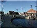
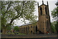
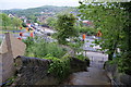
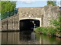
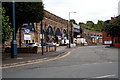
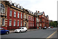
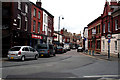
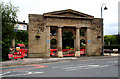
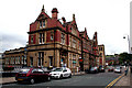
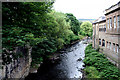
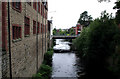
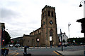
100 photos from this area
Area Information
Key information about the SK15 1DQ including its size, population, and administrative classification.
- Area Type
- Postcode
- Area Size
- 9834 m²
- Population
- 1510
- Population Density
- 3674 people/km²
House Prices in SK15 1DQ
35
Properties
£146,586
Average Sold Price
£34,950
Lowest Price
£461,000
Highest Price
Showing 35 properties
| Address | Type | Beds | Baths | Last Sale Price | Last Sale Date | |
|---|---|---|---|---|---|---|
| 32-36 Harrison Street, Stalybridge, SK15 1DQ | house | - | - | £310,000 | Jun 2024 | |
| 34 Harrison Street, Stalybridge, SK15 1DQ | Terraced | - | - | £461,000 | Jun 2022 | |
| 10 Harrison Street, Stalybridge, SK15 1DQ | house | - | - | £135,000 | Oct 2021 | |
| 28 Harrison Street, Stalybridge, SK15 1DQ | Semi-detached | 3 | 1 | £119,000 | Sep 2019 | |
| 9 Harrison Street, Stalybridge, SK15 1DQ | Terraced | 3 | 1 | £102,500 | Jun 2017 | |
| 26 Harrison Street, Stalybridge, SK15 1DQ | Terraced | 3 | 1 | £118,000 | Mar 2017 | |
| 22 Harrison Street, Stalybridge, SK15 1DQ | Semi-detached | 3 | - | £95,000 | Feb 2015 | |
| 11 Harrison Street, Stalybridge, SK15 1DQ | house | - | - | £82,000 | Jul 2006 | |
| 21 Harrison Street, Stalybridge, SK15 1DQ | house | - | - | £75,000 | Jul 2005 | |
| 29 Harrison Street, Stalybridge, SK15 1DQ | Terraced | - | - | £80,000 | Jan 2005 |
Page 1 of 4
Energy Efficiency in SK15 1DQ
Amenities
Schools
| Rank | School | Type | Entry gender | Ages |
|---|
Explore more schools in this area
Go to Schools tabDemographics
Household Size
One person
most common
Accommodation Type
Houses
most common
Tenure
39
majority
Ethnic Group
White
most common
Religion
N/A
most common
Household Composition
N/A
most common
Age
47
median
Adults (30-64 years)
most common
Household Deprivation
N/A
with no deprivation
NS-SEC
22
in Lower managerial occupations
Explore more demographic insights in this area
Go to Demographics tabPlanning
Planning Constraints
- Flood RiskPremium
- Ramsar Wetland SitesPremium
- Area of Outstanding Natural BeautyPremium
- Protected Nature ReservePremium
- Protected WoodlandPremium