Area Overview for SK14 3EY
Photos of SK14 3EY
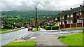
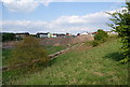
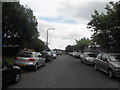
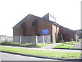
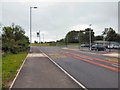
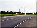
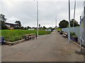
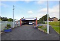
47 photos from this area
Area Information
Key information about the SK14 3EY including its size, population, and administrative classification.
- Area Type
- Postcode
- Area Size
- 1.2 hectares
- Population
- 2343
- Population Density
- 3633 people/km²
House Prices in SK14 3EY
68
Properties
£125,799
Average Sold Price
£64,120
Lowest Price
£255,000
Highest Price
Showing 68 properties
| Address | Type | Beds | Baths | Last Sale Price | Last Sale Date | |
|---|---|---|---|---|---|---|
| 8 Ashby Gardens, Hyde, SK14 3EY | Flat | - | - | £117,500 | Apr 2025 | |
| 17 Ashby Gardens, Hyde, SK14 3EY | Semi-detached | 3 | 2 | £210,000 | Jan 2025 | |
| 42 Ashby Gardens, Hyde, SK14 3EY | Semi-detached | 3 | 2 | £255,000 | Nov 2024 | |
| 10 Ashby Gardens, Hyde, SK14 3EY | Flat | 2 | 1 | £125,000 | Aug 2024 | |
| 40 Ashby Gardens, Hyde, SK14 3EY | Semi-detached | 3 | 3 | £243,000 | Oct 2023 | |
| 4 Ashby Gardens, Hyde, SK14 3EY | Flat | - | - | £96,000 | Aug 2023 | |
| 41 Ashby Gardens, Hyde, SK14 3EY | Flat | 2 | 1 | £125,000 | Jul 2023 | |
| 79 Ashby Gardens, Hyde, SK14 3EY | Terraced | 3 | 1 | £219,000 | Jan 2023 | |
| 31 Ashby Gardens, Hyde, SK14 3EY | Flat | 2 | 1 | £118,200 | Nov 2022 | |
| 37 Ashby Gardens, Hyde, SK14 3EY | Flat | - | - | £118,000 | Jul 2022 |
Page 1 of 7
Energy Efficiency in SK14 3EY
Amenities
Schools
| Rank | School | Type | Entry gender | Ages |
|---|
Explore more schools in this area
Go to Schools tabDemographics
Household Size
One person
most common
Accommodation Type
Houses
most common
Tenure
51
majority
Ethnic Group
White
most common
Religion
N/A
most common
Household Composition
N/A
most common
Age
47
median
Adults (30-64 years)
most common
Household Deprivation
N/A
with no deprivation
NS-SEC
22
in Lower managerial occupations
Explore more demographic insights in this area
Go to Demographics tabPlanning
Planning Constraints
- Flood RiskPremium
- Ramsar Wetland SitesPremium
- Area of Outstanding Natural BeautyPremium
- Protected Nature ReservePremium
- Protected WoodlandPremium