Area Overview for SK14 2DY
Photos of SK14 2DY

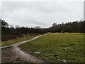
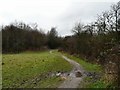
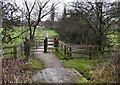
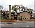
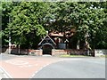
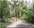
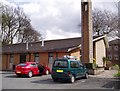
100 photos from this area
Area Information
Key information about the SK14 2DY including its size, population, and administrative classification.
- Area Type
- Postcode
- Area Size
- 8.6 hectares
- Population
- 1891
- Population Density
- 2866 people/km²
House Prices in SK14 2DY
63
Properties
£134,469
Average Sold Price
£78,000
Lowest Price
£252,500
Highest Price
Showing 63 properties
| Address | Type | Beds | Baths | Last Sale Price | Last Sale Date | |
|---|---|---|---|---|---|---|
| 3 Brookhey, Hyde, SK14 2DY | Terraced | 3 | 3 | £240,000 | May 2025 | |
| 44 Brookhey, Hyde, SK14 2DY | Flat | 2 | 2 | £135,260 | Mar 2025 | |
| 35 Brookhey, Hyde, SK14 2DY | Flat | 2 | 2 | £125,000 | Feb 2025 | |
| 36 Brookhey, Hyde, SK14 2DY | Flat | - | - | £136,000 | Oct 2024 | |
| 51 Brookhey, Hyde, SK14 2DY | Semi-detached | 3 | 2 | £222,000 | Dec 2023 | |
| 28 Brookhey, Hyde, SK14 2DY | Flat | - | - | £110,000 | Oct 2023 | |
| 50 Brookhey, Hyde, SK14 2DY | Terraced | 3 | 3 | £240,000 | Jun 2023 | |
| 12 Brookhey, Hyde, SK14 2DY | Flat | - | - | £82,500 | Apr 2023 | |
| 38 Brookhey, Hyde, SK14 2DY | Flat | - | - | £130,000 | Mar 2023 | |
| 34 Brookhey, Hyde, SK14 2DY | Flat | - | - | £85,000 | Mar 2023 |
Page 1 of 7
Energy Efficiency in SK14 2DY
Amenities
Schools
| Rank | School | Type | Entry gender | Ages |
|---|
Explore more schools in this area
Go to Schools tabDemographics
Household Size
Family (3-5 people)
most common
Accommodation Type
Houses
most common
Tenure
48
majority
Ethnic Group
asian_total
most common
Religion
N/A
most common
Household Composition
N/A
most common
Age
47
median
Adults (30-64 years)
most common
Household Deprivation
N/A
with no deprivation
NS-SEC
18
in Lower managerial occupations
Explore more demographic insights in this area
Go to Demographics tabPlanning
Planning Constraints
- Flood RiskPremium
- Ramsar Wetland SitesPremium
- Area of Outstanding Natural BeautyPremium
- Protected Nature ReservePremium
- Protected WoodlandPremium