Area Overview for SK14 1ND
Photos of SK14 1ND
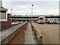
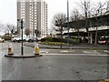
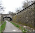
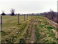
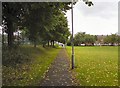
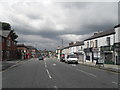
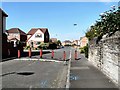
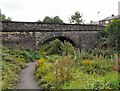
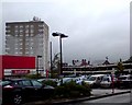
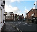
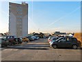
100 photos from this area
Area Information
Key information about the SK14 1ND including its size, population, and administrative classification.
- Area Type
- Postcode
- Area Size
- 1.9 hectares
- Population
- 1934
- Population Density
- 8708 people/km²
House Prices in SK14 1ND
23
Properties
£84,640
Average Sold Price
£27,000
Lowest Price
£190,000
Highest Price
Showing 23 properties
| Address | Type | Beds | Baths | Last Sale Price | Last Sale Date | |
|---|---|---|---|---|---|---|
| 60 Union Street, Hyde, SK14 1ND | house | - | - | £190,000 | Aug 2022 | |
| 47 Union Street, Hyde, SK14 1ND | Terraced | 2 | 2 | £130,000 | Jun 2018 | |
| 53 Union Street, Hyde, SK14 1ND | Terraced | 2 | 1 | £84,995 | May 2015 | |
| 51 Union Street, Hyde, SK14 1ND | house | - | - | £75,000 | Mar 2012 | |
| 41 Union Street, Hyde, SK14 1ND | Terraced | - | - | £103,000 | Jul 2007 | |
| 58 Union Street, Hyde, SK14 1ND | Terraced | - | - | £82,000 | Nov 2006 | |
| 52 Union Street, Hyde, SK14 1ND | Terraced | - | - | £73,350 | Oct 2006 | |
| 45 Union Street, Hyde, SK14 1ND | Terraced | - | - | £92,500 | Jul 2006 | |
| 50 Union Street, Hyde, SK14 1ND | Terraced | - | - | £37,500 | Aug 1998 | |
| 49 Union Street, Hyde, SK14 1ND | Terraced | - | - | £27,000 | Mar 1996 |
Page 1 of 3
Energy Efficiency in SK14 1ND
Amenities
Schools
| Rank | School | Type | Entry gender | Ages |
|---|
Explore more schools in this area
Go to Schools tabDemographics
Household Size
Family (3-5 people)
most common
Accommodation Type
Houses
most common
Tenure
56
majority
Ethnic Group
White
most common
Religion
N/A
most common
Household Composition
N/A
most common
Age
47
median
Adults (30-64 years)
most common
Household Deprivation
N/A
with no deprivation
NS-SEC
19
in Lower managerial occupations
Explore more demographic insights in this area
Go to Demographics tabPlanning
Planning Constraints
- Flood RiskPremium
- Ramsar Wetland SitesPremium
- Area of Outstanding Natural BeautyPremium
- Protected Nature ReservePremium
- Protected WoodlandPremium