Area Overview for SK14 1HF
Photos of SK14 1HF
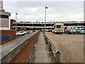
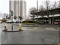
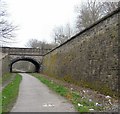
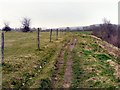
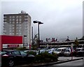
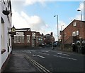
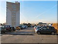
100 photos from this area
Area Information
Key information about the SK14 1HF including its size, population, and administrative classification.
- Area Type
- Postcode
- Area Size
- 3839 m²
- Population
- 1934
- Population Density
- 8708 people/km²
House Prices in SK14 1HF
19
Properties
£67,525
Average Sold Price
£100
Lowest Price
£120,000
Highest Price
Showing 19 properties
| Address | Type | Beds | Baths | Last Sale Price | Last Sale Date | |
|---|---|---|---|---|---|---|
| 213 Market Street, Hyde, SK14 1HF | house | - | - | £120,000 | Jun 2021 | |
| 215 Market Street, Hyde, SK14 1HF | house | - | - | £100,000 | Nov 2019 | |
| 187A Market Street, Hyde, SK14 1HF | Flat | - | - | £100 | Sep 2018 | |
| 183A Market Street, Hyde, SK14 1HF | Flat | - | - | £50,000 | Sep 2005 | |
| 205 Market Street, Hyde, SK14 1HF | Terraced | - | - | - | - | |
| 213-215 Market Street, Hyde, SK14 1HF | Terraced | 2 | 1 | - | - | |
| First Floor Flat, 213-215 Market Street, Hyde, SK14 1HF | Flat | - | - | - | - | |
| 197-199 Market Street, Hyde, SK14 1HF | shop | - | - | - | - | |
| Golden Cuts, Golden Cutz, 195 Market Street, Hyde, SK14 1HF | shop | - | - | - | - | |
| Ground Floor, Scissor Trim, 219 Market Street, Hyde, SK14 1HF | shop | - | - | - | - |
Page 1 of 2
Energy Efficiency in SK14 1HF
Amenities
Schools
| Rank | School | Type | Entry gender | Ages |
|---|
Explore more schools in this area
Go to Schools tabDemographics
Household Size
Family (3-5 people)
most common
Accommodation Type
Houses
most common
Tenure
56
majority
Ethnic Group
White
most common
Religion
N/A
most common
Household Composition
N/A
most common
Age
47
median
Adults (30-64 years)
most common
Household Deprivation
N/A
with no deprivation
NS-SEC
19
in Lower managerial occupations
Explore more demographic insights in this area
Go to Demographics tabPlanning
Planning Constraints
- Flood RiskPremium
- Ramsar Wetland SitesPremium
- Area of Outstanding Natural BeautyPremium
- Protected Nature ReservePremium
- Protected WoodlandPremium