Area Overview for SK11 7NA
Photos of SK11 7NA
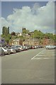
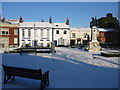
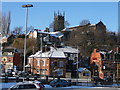
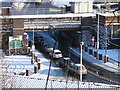
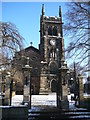
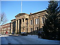
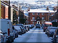
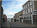
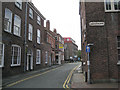
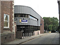
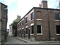
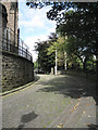
100 photos from this area
Area Information
Key information about the SK11 7NA including its size, population, and administrative classification.
- Area Type
- Postcode
- Area Size
- 1.3 hectares
- Population
- 1984
- Population Density
- 3526 people/km²
House Prices in SK11 7NA
15
Properties
-
Average Sold Price
-
Lowest Price
-
Highest Price
Showing 15 properties
| Address | Type | Beds | Baths | Last Sale Price | Last Sale Date | |
|---|---|---|---|---|---|---|
| 28 Park Green, Macclesfield, SK11 7NA | undefined | - | - | - | - | |
| The Fountain, 32 Park Green, Macclesfield, SK11 7NA | restaurant_cafe | - | - | - | - | |
| Flat, The Society Rooms, Park Green, Macclesfield, SK11 7NA | Flat | - | - | - | - | |
| Flat At, 20 Park Green, Macclesfield, SK11 7NA | Retail | - | - | - | - | |
| First And Second Floors, 8-10 Park Green, Macclesfield, SK11 7NA | Office | - | - | - | - | |
| The Hope Centre, 16-18 Park Green, Macclesfield, SK11 7NA | Office | - | - | - | - | |
| Cheshire East Council, The Registry Office, Park Green, Macclesfield, SK11 7NA | law_court | - | - | - | - | |
| Balti Kitchen, 22 Park Green, Macclesfield, SK11 7NA | Retail | - | - | - | - | |
| Cartridge World, 20 Park Green, Macclesfield, SK11 7NA | retail_financial | - | - | - | - | |
| M D Sec Consulting, 32 Park Green, Macclesfield, SK11 7NA | Office | - | - | - | - |
Page 1 of 2
Energy Efficiency in SK11 7NA
Amenities
Schools
| Rank | School | Type | Entry gender | Ages |
|---|
Explore more schools in this area
Go to Schools tabDemographics
Household Size
One person
most common
Accommodation Type
Houses
most common
Tenure
39
majority
Ethnic Group
White
most common
Religion
N/A
most common
Household Composition
N/A
most common
Age
47
median
Adults (30-64 years)
most common
Household Deprivation
N/A
with no deprivation
NS-SEC
39
in Lower managerial occupations
Explore more demographic insights in this area
Go to Demographics tabPlanning
Planning Constraints
- Flood RiskPremium
- Ramsar Wetland SitesPremium
- Area of Outstanding Natural BeautyPremium
- Protected Nature ReservePremium
- Protected WoodlandPremium