Area Overview for SK11 0QL
Photos of SK11 0QL
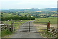
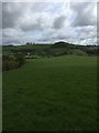
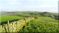
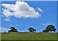

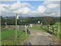
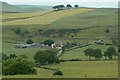
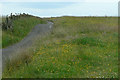
17 photos from this area
Area Information
Key information about the SK11 0QL including its size, population, and administrative classification.
- Area Type
- Postcode
- Area Size
- 3.0 km²
- Population
- 2326
- Population Density
- 35 people/km²
House Prices in SK11 0QL
27
Properties
£531,238
Average Sold Price
£370,000
Lowest Price
£689,950
Highest Price
Showing 27 properties
| Address | Type | Beds | Baths | Last Sale Price | Last Sale Date | |
|---|---|---|---|---|---|---|
| BUTTERLANDS FARM, BUXTON ROAD, Wincle, SK11 0QL | Detached | - | - | £530,000 | Jan 2021 | |
| Lingerds Farm, Buxton Road, Bosley, SK11 0QL | Farm | 1 | 1 | £370,000 | Mar 2018 | |
| Sandyway Farm, Buxton Road, Wincle, SK11 0QL | Detached | - | - | £535,000 | May 2007 | |
| Golden Slack Farm, Buxton Road, Wincle, SK11 0QL | Equestrian | 7 | 4 | £689,950 | Mar 2004 | |
| Sparrow Greave Farm, Clough Road, Wincle, SK11 0QL | Semi-detached | 7 | - | - | - | |
| Croker Hill Barn, Buxton Road, Wincle, SK11 0QL | Semi-detached | 4 | 2 | - | - | |
| The Barn, Sparrow Greave Farm, Clough Road, Wincle, SK11 0QL | Semi-detached | 3 | 2 | - | - | |
| Cleulow Barn, Buxton Road, Wincle, SK11 0QL | house | 4 | - | - | - | |
| Fourways Bungalow 2, Buxton Road, Wincle, SK11 0QL | Detached | 3 | - | - | - | |
| Caravan 1, Sparrowgreave Farm, Clough Road, Wincle, SK11 0QL | Mobile Home | - | - | - | - |
Page 1 of 3
Energy Efficiency in SK11 0QL
Amenities
Schools
| Rank | School | Type | Entry gender | Ages |
|---|
Explore more schools in this area
Go to Schools tabDemographics
Household Size
Two person
most common
Accommodation Type
Houses
most common
Tenure
80
majority
Ethnic Group
White
most common
Religion
N/A
most common
Household Composition
N/A
most common
Age
47
median
Adults (30-64 years)
most common
Household Deprivation
N/A
with no deprivation
NS-SEC
45
in Lower managerial occupations
Explore more demographic insights in this area
Go to Demographics tabPlanning
Planning Constraints
- Flood RiskPremium
- Ramsar Wetland SitesPremium
- Area of Outstanding Natural BeautyPremium
- Protected Nature ReservePremium
- Protected WoodlandPremium