Area Overview for SK10 5SJ
Photos of SK10 5SJ
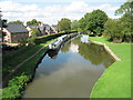
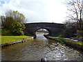
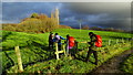
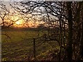
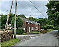
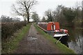
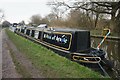
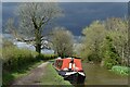
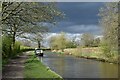
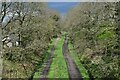
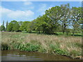
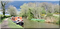
33 photos from this area
Area Information
Key information about the SK10 5SJ including its size, population, and administrative classification.
- Area Type
- Postcode
- Area Size
- 1.5 km²
- Population
- 1835
- Population Density
- 106 people/km²
House Prices in SK10 5SJ
23
Properties
£600,864
Average Sold Price
£330,000
Lowest Price
£1,175,000
Highest Price
Showing 23 properties
| Address | Type | Beds | Baths | Last Sale Price | Last Sale Date | |
|---|---|---|---|---|---|---|
| Laneside, Holehouse Lane, Whiteley Green, SK10 5SJ | house | 3 | - | £450,000 | Apr 2024 | |
| Holly Cottage, Holehouse Lane, Whiteley Green, SK10 5SJ | house | 5 | 3 | £1,175,000 | Jun 2023 | |
| Lark Rise, Holehouse Lane, Whiteley Green, SK10 5SJ | Retail | 4 | 3 | £1,150,000 | Jul 2022 | |
| Greenlands Cottage, Holehouse Lane, Whiteley Green, SK10 5SJ | house | - | - | £545,000 | Nov 2021 | |
| Hillside Barn, Holehouse Lane, Whiteley Green, SK10 5SJ | house | 3 | 3 | £500,000 | Apr 2020 | |
| The Bungalow, Holehouse Lane, Whiteley Green, SK10 5SJ | Bungalow | 3 | - | £410,000 | Aug 2018 | |
| Green Farm, Holehouse Lane, Whiteley Green, SK10 5SJ | Detached | - | - | £625,000 | Nov 2015 | |
| Honeysuckle Cottage, Holehouse Lane, Whiteley Green, SK10 5SJ | house | - | - | £484,500 | Oct 2010 | |
| Ashley Farm, Holehouse Lane, Whiteley Green, SK10 5SJ | Semi-detached | - | - | £600,000 | Mar 2001 | |
| Holly Bank, Holehouse Lane, Whiteley Green, SK10 5SJ | Detached | - | - | £340,000 | Jul 1997 |
Page 1 of 3
Energy Efficiency in SK10 5SJ
Amenities
Schools
| Rank | School | Type | Entry gender | Ages |
|---|
Explore more schools in this area
Go to Schools tabDemographics
Household Size
Two person
most common
Accommodation Type
Houses
most common
Tenure
86
majority
Ethnic Group
White
most common
Religion
N/A
most common
Household Composition
N/A
most common
Age
47
median
Adults (30-64 years)
most common
Household Deprivation
N/A
with no deprivation
NS-SEC
49
in Lower managerial occupations
Explore more demographic insights in this area
Go to Demographics tabPlanning
Planning Constraints
- Flood RiskPremium
- Ramsar Wetland SitesPremium
- Area of Outstanding Natural BeautyPremium
- Protected Nature ReservePremium
- Protected WoodlandPremium