Area Overview for SK10 4PY
Photos of SK10 4PY
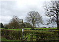
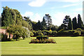
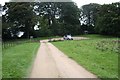
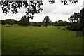
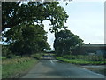
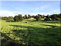
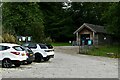
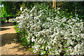
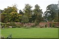
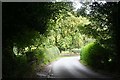
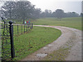
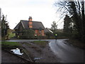
24 photos from this area
Area Information
Key information about the SK10 4PY including its size, population, and administrative classification.
- Area Type
- Postcode
- Area Size
- 38.4 hectares
- Population
- 1037
- Population Density
- 54 people/km²
House Prices in SK10 4PY
7
Properties
£666,125
Average Sold Price
£250,000
Lowest Price
£1,117,000
Highest Price
Showing 7 properties
| Address | Type | Beds | Baths | Last Sale Price | Last Sale Date | |
|---|---|---|---|---|---|---|
| Greyhound Lodge, Prestbury Road, Over Alderley, SK10 4PY | Detached | 4 | 1 | £712,500 | Jun 2023 | |
| 1, Dunge Cottage, Prestbury Road, Over Alderley, SK10 4PY | Semi-detached | 3 | 2 | £250,000 | Apr 2003 | |
| Hare Hill Stables, Prestbury Road, Over Alderley, SK10 4PY | Detached | 5 | 5 | £1,117,000 | Jun 2002 | |
| Butlers Cottage, Prestbury Road, Over Alderley, SK10 4PY | Detached | - | - | £585,000 | Sep 2001 | |
| Alderley Lodge, Prestbury Road, Over Alderley, SK10 4PY | house | 7 | - | - | - | |
| 2, Dunge Cottage, Prestbury Road, Over Alderley, SK10 4PY | house | - | - | - | - | |
| Stables At, Hare Hill Hall, Prestbury Road, Over Alderley, SK10 4PY | Equestrian | - | - | - | - |
Energy Efficiency in SK10 4PY
Amenities
Schools
| Rank | School | Type | Entry gender | Ages |
|---|
Explore more schools in this area
Go to Schools tabDemographics
Household Size
Two person
most common
Accommodation Type
Houses
most common
Tenure
89
majority
Ethnic Group
White
most common
Religion
N/A
most common
Household Composition
N/A
most common
Age
47
median
Adults (30-64 years)
most common
Household Deprivation
N/A
with no deprivation
NS-SEC
50
in Lower managerial occupations
Explore more demographic insights in this area
Go to Demographics tabPlanning
Planning Constraints
- Flood RiskPremium
- Ramsar Wetland SitesPremium
- Area of Outstanding Natural BeautyPremium
- Protected Nature ReservePremium
- Protected WoodlandPremium