Area Overview for SK10 4HT
Photos of SK10 4HT
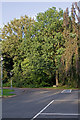
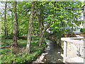
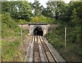
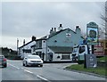
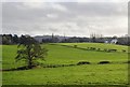
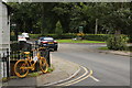
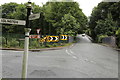
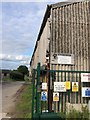
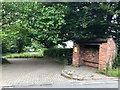
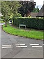
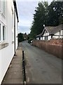
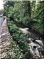
39 photos from this area
Area Information
Key information about the SK10 4HT including its size, population, and administrative classification.
- Area Type
- Postcode
- Area Size
- 1.2 hectares
- Population
- 1804
- Population Density
- 363 people/km²
House Prices in SK10 4HT
9
Properties
£706,750
Average Sold Price
£299,000
Lowest Price
£1,425,000
Highest Price
Showing 9 properties
| Address | Type | Beds | Baths | Last Sale Price | Last Sale Date | |
|---|---|---|---|---|---|---|
| Brooklands, New Road, Prestbury, SK10 4HT | Retail | 5 | 3 | £1,425,000 | Nov 2022 | |
| Butley Hollies, New Road, Prestbury, SK10 4HT | house | - | - | £747,500 | Mar 2021 | |
| Montrose, New Road, Prestbury, SK10 4HT | house | - | - | £640,000 | Oct 2005 | |
| Cringle, New Road, Prestbury, SK10 4HT | Detached | - | - | £790,000 | Aug 2004 | |
| Hill Corner, New Road, Prestbury, SK10 4HT | house | - | - | £339,000 | Dec 1999 | |
| Point Grey, New Road, Prestbury, SK10 4HT | Detached | 6 | 4 | £299,000 | Mar 1997 | |
| Northern, Prestbury Railway Station, New Road, Prestbury, SK10 4HT | commercial | - | - | - | - | |
| Flat 2, Station House, New Road, Prestbury, SK10 4HT | Flat | - | - | - | - | |
| Flat 1, Station House, New Road, Prestbury, SK10 4HT | Flat | 3 | 2 | - | - |
Energy Efficiency in SK10 4HT
Amenities
Schools
| Rank | School | Type | Entry gender | Ages |
|---|
Explore more schools in this area
Go to Schools tabDemographics
Household Size
Two person
most common
Accommodation Type
Houses
most common
Tenure
93
majority
Ethnic Group
White
most common
Religion
N/A
most common
Household Composition
N/A
most common
Age
47
median
Adults (30-64 years)
most common
Household Deprivation
N/A
with no deprivation
NS-SEC
60
in Lower managerial occupations
Explore more demographic insights in this area
Go to Demographics tabPlanning
Planning Constraints
- Flood RiskPremium
- Ramsar Wetland SitesPremium
- Area of Outstanding Natural BeautyPremium
- Protected Nature ReservePremium
- Protected WoodlandPremium