Area Overview for SK10 3AT
Photos of SK10 3AT
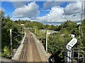

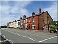
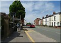
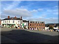
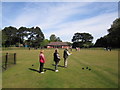
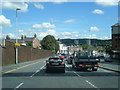
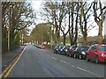
38 photos from this area
Area Information
Key information about the SK10 3AT including its size, population, and administrative classification.
- Area Type
- Postcode
- Area Size
- 3.3 hectares
- Population
- 1353
- Population Density
- 3583 people/km²
House Prices in SK10 3AT
46
Properties
£142,954
Average Sold Price
£48,050
Lowest Price
£205,000
Highest Price
Showing 46 properties
| Address | Type | Beds | Baths | Last Sale Price | Last Sale Date | |
|---|---|---|---|---|---|---|
| 69 Abbey Road, Macclesfield, SK10 3AT | Terraced | 3 | 1 | £205,000 | Apr 2025 | |
| 57 Abbey Road, Macclesfield, SK10 3AT | Terraced | 3 | 1 | £190,000 | May 2024 | |
| 83 Abbey Road, Macclesfield, SK10 3AT | Terraced | - | - | £199,950 | Oct 2023 | |
| 85 Abbey Road, Macclesfield, SK10 3AT | house | - | - | £183,500 | Jan 2022 | |
| 73 Abbey Road, Macclesfield, SK10 3AT | house | - | - | £163,000 | Aug 2021 | |
| 65 Abbey Road, Macclesfield, SK10 3AT | Terraced | 3 | 1 | £155,000 | Mar 2021 | |
| 89 Abbey Road, Macclesfield, SK10 3AT | house | - | - | £169,950 | Feb 2021 | |
| 11 Abbey Road, Macclesfield, SK10 3AT | Flat | - | - | £80,000 | Oct 2020 | |
| 55 Abbey Road, Macclesfield, SK10 3AT | Terraced | 3 | 1 | £165,000 | Aug 2019 | |
| 39 Abbey Road, Macclesfield, SK10 3AT | Flat | 1 | 1 | £81,000 | Aug 2019 |
Page 1 of 5
Energy Efficiency in SK10 3AT
Amenities
Schools
| Rank | School | Type | Entry gender | Ages |
|---|
Explore more schools in this area
Go to Schools tabDemographics
Household Size
One person
most common
Accommodation Type
Houses
most common
Tenure
75
majority
Ethnic Group
White
most common
Religion
N/A
most common
Household Composition
N/A
most common
Age
47
median
Adults (30-64 years)
most common
Household Deprivation
N/A
with no deprivation
NS-SEC
30
in Lower managerial occupations
Explore more demographic insights in this area
Go to Demographics tabPlanning
Planning Constraints
- Flood RiskPremium
- Ramsar Wetland SitesPremium
- Area of Outstanding Natural BeautyPremium
- Protected Nature ReservePremium
- Protected WoodlandPremium