Area Overview for Rowton
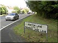
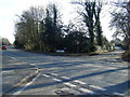
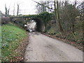
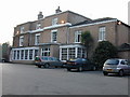
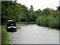
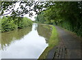
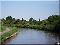
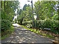
Photos of Rowton
Area Information
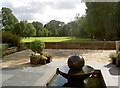
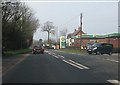
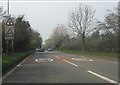
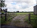
Rowton is a small civil parish situated in Cheshire, North West England. It forms part of the ancient parish of Christleton St James, which encompasses Cotton Abbotts, Littleton, and Cotton Edmunds. The village sits approximately 2.4 km² in total area and lies near the county town of Chester. About 497 residents live within the village itself, though the broader civil parish population reaches approximately 2,000. You will find the area is deeply connected to its history, particularly the Battle of Rowton Heath which took place on 24 September 1645. A memorial was erected by the Rowton Parish Council in 1995 to mark this significant event where Parliamentarians defeated a Royalist force. Today, the battlefield is a mixture of agricultural land and upmarket residences. You can access these fields through numerous footpaths, offering scenic walks despite the modern changes to the landscape. The battle also links Rowton to Chester's St John the Baptist's Church, which served as a garrison during the siege. Living in Rowton means engaging with a community that moves between the quiet of a rural parish and the proximity of a historic city. The atmosphere is shaped by these layers of history, combining recent residential development with ancient roots.
- Area Type
- Parish
- Area Size
- 2.4 km²
- Population
- Not available
- Population Density
- Not available
Demographics
The community in Rowton shows clear signs of an established, mature population. Your demographic research indicates a median age of 70 years, making this an area largely populated by older residents. This age profile suggests a neighbourhood where long-term residents have settled, creating a stable environment. Home ownership levels stand at 86 per cent, meaning the vast majority of households own their properties outright or with a mortgage. This high rate of ownership contrasts sharply with areas dominated by short-term rentals or buy-to-let schemes. You will find very few private rental homes among the total accommodation stock. Household composition data categorises the area as 'Total', reflecting the mix of families and individuals present, though the age suggests many households consist of couples or single-occupancy units. While specific figures for predominant ethnic groups and religious affiliations are not listed in the available data, the area represents a settled community typical of historic Cheshire villages. The social fabric is defined by this high rate of ownership and older demographic, which often correlates with lower levels of transient movement through the village streets.
Household Size
Accommodation Type
Tenure
Ethnic Group
Religion
Household Composition
Age
Household Deprivation
NS-SEC
Explore more demographic insights in this area
Go to Demographics tabPlanning
Planning Constraints
- Flood RiskPremium
- Ramsar Wetland SitesPremium
- Area of Outstanding Natural BeautyPremium
- Protected Nature ReservePremium
- Protected WoodlandPremium
- Crime RiskPremium