Area Overview for PR9 9YT
Photos of PR9 9YT
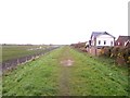
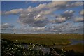
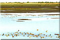
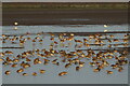
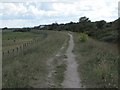
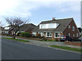
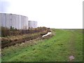
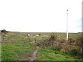
21 photos from this area
Area Information
Key information about the PR9 9YT including its size, population, and administrative classification.
- Area Type
- Postcode
- Area Size
- 5981 m²
- Population
- 1160
- Population Density
- 2906 people/km²
House Prices in PR9 9YT
14
Properties
£172,095
Average Sold Price
£59,950
Lowest Price
£335,000
Highest Price
Showing 14 properties
| Address | Type | Beds | Baths | Last Sale Price | Last Sale Date | |
|---|---|---|---|---|---|---|
| 1 Eamont Avenue, Southport, PR9 9YT | house | - | - | £335,000 | Feb 2024 | |
| 9 Eamont Avenue, Southport, PR9 9YT | Bungalow | - | - | £246,000 | Feb 2022 | |
| 11 Eamont Avenue, Southport, PR9 9YT | Bungalow | - | - | £220,000 | Mar 2021 | |
| 19 Eamont Avenue, Southport, PR9 9YT | Bungalow | - | - | £148,000 | Jul 2016 | |
| 29 Eamont Avenue, Southport, PR9 9YT | Semi-detached | - | - | £190,000 | Jun 2008 | |
| 17 Eamont Avenue, Southport, PR9 9YT | Semi-detached | - | - | £177,500 | Aug 2007 | |
| 21 Eamont Avenue, Southport, PR9 9YT | Semi-detached | - | - | £125,000 | Jan 2003 | |
| 27 Eamont Avenue, Southport, PR9 9YT | Semi-detached | - | - | £145,000 | Nov 2002 | |
| 15 Eamont Avenue, Southport, PR9 9YT | Bungalow | - | - | £74,500 | Sep 1999 | |
| 25 Eamont Avenue, Southport, PR9 9YT | Bungalow | - | - | £59,950 | Nov 1998 |
Page 1 of 2
Energy Efficiency in PR9 9YT
Amenities
Schools
| Rank | School | Type | Entry gender | Ages |
|---|
Explore more schools in this area
Go to Schools tabDemographics
Household Size
Two person
most common
Accommodation Type
Houses
most common
Tenure
88
majority
Ethnic Group
White
most common
Religion
N/A
most common
Household Composition
N/A
most common
Age
47
median
Elderly (65+ years)
most common
Household Deprivation
N/A
with no deprivation
NS-SEC
33
in Lower managerial occupations
Explore more demographic insights in this area
Go to Demographics tabPlanning
Planning Constraints
- Flood RiskPremium
- Ramsar Wetland SitesPremium
- Area of Outstanding Natural BeautyPremium
- Protected Nature ReservePremium
- Protected WoodlandPremium