Area Overview for PR9 9UR
Photos of PR9 9UR
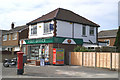
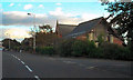
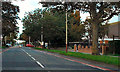
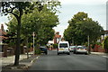
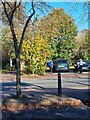
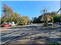
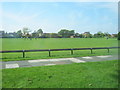
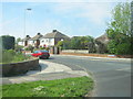
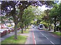

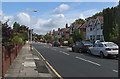
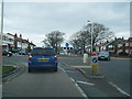
16 photos from this area
Area Information
Key information about the PR9 9UR including its size, population, and administrative classification.
- Area Type
- Postcode
- Area Size
- 2.1 hectares
- Population
- 1361
- Population Density
- 4721 people/km²
House Prices in PR9 9UR
38
Properties
£127,368
Average Sold Price
£20,000
Lowest Price
£260,000
Highest Price
Showing 38 properties
| Address | Type | Beds | Baths | Last Sale Price | Last Sale Date | |
|---|---|---|---|---|---|---|
| 38 Shellfield Road, Southport, PR9 9UR | Semi-detached | 2 | 1 | £210,000 | May 2024 | |
| 62 Shellfield Road, Southport, PR9 9UR | Semi-detached | 1 | 1 | £170,000 | Jun 2023 | |
| 60 Shellfield Road, Southport, PR9 9UR | Semi-detached | 4 | 1 | £260,000 | Sep 2021 | |
| 64 Shellfield Road, Southport, PR9 9UR | Bungalow | 1 | 1 | £130,000 | Sep 2021 | |
| 8 Shellfield Road, Southport, PR9 9UR | Semi-detached | 3 | 1 | £160,000 | Jun 2019 | |
| 42 Shellfield Road, Southport, PR9 9UR | Semi-detached | - | - | £125,000 | Apr 2019 | |
| 68 Shellfield Road, Southport, PR9 9UR | Bungalow | 2 | 1 | £187,500 | Jul 2018 | |
| 64A Shellfield Road, Southport, PR9 9UR | Semi-detached | 1 | 1 | £93,000 | Dec 2015 | |
| 54 Shellfield Road, Southport, PR9 9UR | Bungalow | 4 | - | £230,000 | Feb 2013 | |
| 28 Shellfield Road, Southport, PR9 9UR | house | - | - | £170,000 | Nov 2011 |
Page 1 of 4
Energy Efficiency in PR9 9UR
Amenities
Schools
| Rank | School | Type | Entry gender | Ages |
|---|
Explore more schools in this area
Go to Schools tabDemographics
Household Size
Two person
most common
Accommodation Type
Houses
most common
Tenure
87
majority
Ethnic Group
White
most common
Religion
N/A
most common
Household Composition
N/A
most common
Age
47
median
Adults (30-64 years)
most common
Household Deprivation
N/A
with no deprivation
NS-SEC
31
in Lower managerial occupations
Explore more demographic insights in this area
Go to Demographics tabPlanning
Planning Constraints
- Flood RiskPremium
- Ramsar Wetland SitesPremium
- Area of Outstanding Natural BeautyPremium
- Protected Nature ReservePremium
- Protected WoodlandPremium