Area Overview for PR9 9TE
Photos of PR9 9TE
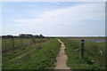
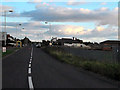
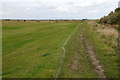
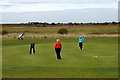
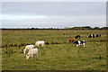
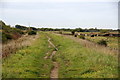
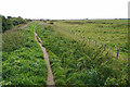
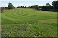
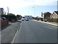
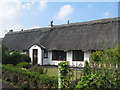
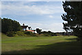
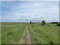
15 photos from this area
Area Information
Key information about the PR9 9TE including its size, population, and administrative classification.
- Area Type
- Postcode
- Area Size
- 4.2 hectares
- Population
- 1445
- Population Density
- 3347 people/km²
House Prices in PR9 9TE
14
Properties
£209,357
Average Sold Price
£61,500
Lowest Price
£350,000
Highest Price
Showing 14 properties
| Address | Type | Beds | Baths | Last Sale Price | Last Sale Date | |
|---|---|---|---|---|---|---|
| 161 Marshside Road, Southport, PR9 9TE | Bungalow | 3 | - | £350,000 | Jul 2024 | |
| 171 Marshside Road, Southport, PR9 9TE | Bungalow | - | - | £247,000 | Sep 2021 | |
| 159 Marshside Road, Southport, PR9 9TE | Bungalow | - | - | £320,000 | Jun 2021 | |
| 167 Marshside Road, Southport, PR9 9TE | Bungalow | 3 | 1 | £195,000 | Jul 2017 | |
| 175 Marshside Road, Southport, PR9 9TE | Detached | - | - | £165,000 | Oct 2009 | |
| 163 Marshside Road, Southport, PR9 9TE | Semi-detached | - | - | £127,000 | Jul 2003 | |
| 165 Marshside Road, Southport, PR9 9TE | Semi-detached | - | - | £61,500 | Jul 1998 | |
| Rear Of, 159B Marshside Road, Southport, PR9 9TE | Flat | - | - | - | - | |
| Front Flat, 159A Marshside Road, Southport, PR9 9TE | Flat | - | - | - | - | |
| 169 Marshside Road, Southport, PR9 9TE | Detached | - | - | - | - |
Page 1 of 2
Energy Efficiency in PR9 9TE
Amenities
Schools
| Rank | School | Type | Entry gender | Ages |
|---|
Explore more schools in this area
Go to Schools tabDemographics
Household Size
One person
most common
Accommodation Type
Houses
most common
Tenure
50
majority
Ethnic Group
White
most common
Religion
N/A
most common
Household Composition
N/A
most common
Age
47
median
Adults (30-64 years)
most common
Household Deprivation
N/A
with no deprivation
NS-SEC
25
in Lower managerial occupations
Explore more demographic insights in this area
Go to Demographics tabPlanning
Planning Constraints
- Flood RiskPremium
- Ramsar Wetland SitesPremium
- Area of Outstanding Natural BeautyPremium
- Protected Nature ReservePremium
- Protected WoodlandPremium