Area Overview for PR9 9JQ
Photos of PR9 9JQ
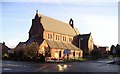
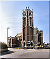
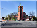
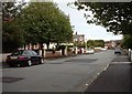
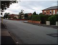
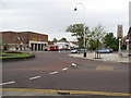
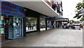
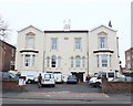
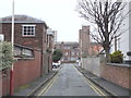
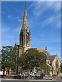
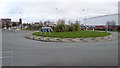
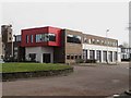
61 photos from this area
Area Information
Key information about the PR9 9JQ including its size, population, and administrative classification.
- Area Type
- Postcode
- Area Size
- 2.7 hectares
- Population
- 1742
- Population Density
- 4624 people/km²
House Prices in PR9 9JQ
89
Properties
£247,683
Average Sold Price
£45,000
Lowest Price
£435,000
Highest Price
Showing 89 properties
| Address | Type | Beds | Baths | Last Sale Price | Last Sale Date | |
|---|---|---|---|---|---|---|
| 28A Leyland Road, Southport, PR9 9JQ | Bungalow | - | - | £435,000 | Sep 2024 | |
| 38A Leyland Road, Southport, PR9 9JQ | Bungalow | 2 | 1 | £175,000 | Jun 2024 | |
| Land To Rear, 52 Park Road, Southport, PR9 9JQ | Unknown | - | - | £45,000 | Apr 2023 | |
| 16 Leyland Road, Southport, PR9 9JQ | house | 4 | - | £312,500 | Jun 2022 | |
| Flat 1, 32 Leyland Road, Southport, PR9 9JQ | Flat | 3 | 1 | £85,000 | May 2022 | |
| 30 Leyland Road, Southport, PR9 9JQ | house | - | - | £401,250 | Aug 2021 | |
| 32 Leyland Road, Southport, PR9 9JQ | Flat | - | - | £355,000 | May 2021 | |
| 14 Leyland Road, Southport, PR9 9JQ | Semi-detached | 4 | 2 | £272,000 | Jul 2019 | |
| 22 Leyland Road, Southport, PR9 9JQ | house | - | - | £332,500 | Apr 2015 | |
| 12 Leyland Road, Southport, PR9 9JQ | house | - | - | £238,500 | Jan 2010 |
Page 1 of 9
Energy Efficiency in PR9 9JQ
Amenities
Schools
| Rank | School | Type | Entry gender | Ages |
|---|
Explore more schools in this area
Go to Schools tabDemographics
Household Size
One person
most common
Accommodation Type
Flats
most common
Tenure
58
majority
Ethnic Group
White
most common
Religion
N/A
most common
Household Composition
N/A
most common
Age
70
median
Elderly (65+ years)
most common
Household Deprivation
N/A
with no deprivation
NS-SEC
30
in Lower managerial occupations
Explore more demographic insights in this area
Go to Demographics tabPlanning
Planning Constraints
- Flood RiskPremium
- Ramsar Wetland SitesPremium
- Area of Outstanding Natural BeautyPremium
- Protected Nature ReservePremium
- Protected WoodlandPremium