Area Overview for PR9 9HF
Photos of PR9 9HF
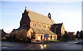
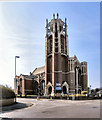
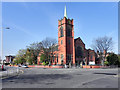
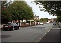
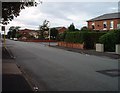
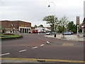
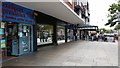
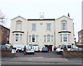
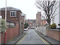
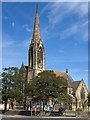
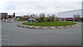
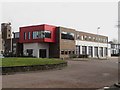
61 photos from this area
Area Information
Key information about the PR9 9HF including its size, population, and administrative classification.
- Area Type
- Postcode
- Area Size
- 2.6 hectares
- Population
- 1830
- Population Density
- 6291 people/km²
House Prices in PR9 9HF
85
Properties
£252,482
Average Sold Price
£59,000
Lowest Price
£610,000
Highest Price
Showing 85 properties
| Address | Type | Beds | Baths | Last Sale Price | Last Sale Date | |
|---|---|---|---|---|---|---|
| 30 Hawkshead Street, Southport, PR9 9HF | Detached | 6 | 3 | £610,000 | Sep 2025 | |
| 23 Hawkshead Street, Southport, PR9 9HF | Semi-detached | 4 | 1 | £255,000 | Nov 2023 | |
| 9 Hawkshead Street, Southport, PR9 9HF | Semi-detached | 5 | 1 | £400,000 | Oct 2022 | |
| 40 Hawkshead Street, Southport, PR9 9HF | house | - | - | £286,000 | Mar 2022 | |
| 5 Hawkshead Street, Southport, PR9 9HF | house | - | - | £360,000 | Jan 2022 | |
| 16 Hawkshead Street, Southport, PR9 9HF | Semi-detached | 6 | 4 | £380,000 | Mar 2020 | |
| 6 Hawkshead Street, Southport, PR9 9HF | house | - | - | £299,250 | Jan 2020 | |
| 27B Hawkshead Street, Southport, PR9 9HF | house | - | - | £131,000 | Jul 2017 | |
| 19 Hawkshead Street, Southport, PR9 9HF | house | - | - | £210,000 | Jun 2013 | |
| 12 Hawkshead Street, Southport, PR9 9HF | house | - | - | £217,000 | Dec 2010 |
Page 1 of 9
Energy Efficiency in PR9 9HF
Amenities
Schools
| Rank | School | Type | Entry gender | Ages |
|---|
Explore more schools in this area
Go to Schools tabDemographics
Household Size
One person
most common
Accommodation Type
Flats
most common
Tenure
50
majority
Ethnic Group
White
most common
Religion
N/A
most common
Household Composition
N/A
most common
Age
47
median
Adults (30-64 years)
most common
Household Deprivation
N/A
with no deprivation
NS-SEC
26
in Lower managerial occupations
Explore more demographic insights in this area
Go to Demographics tabPlanning
Planning Constraints
- Flood RiskPremium
- Ramsar Wetland SitesPremium
- Area of Outstanding Natural BeautyPremium
- Protected Nature ReservePremium
- Protected WoodlandPremium