Area Overview for PR9 9DL
Photos of PR9 9DL
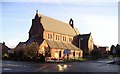
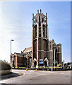
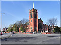
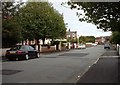
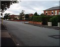
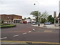
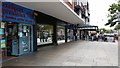
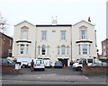
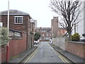
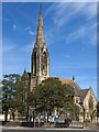
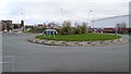
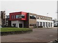
61 photos from this area
Area Information
Key information about the PR9 9DL including its size, population, and administrative classification.
- Area Type
- Postcode
- Area Size
- 1.8 hectares
- Population
- 1527
- Population Density
- 5499 people/km²
House Prices in PR9 9DL
46
Properties
£107,753
Average Sold Price
£29,100
Lowest Price
£175,000
Highest Price
Showing 46 properties
| Address | Type | Beds | Baths | Last Sale Price | Last Sale Date | |
|---|---|---|---|---|---|---|
| 132 Zetland Street, Southport, PR9 9DL | Detached | 3 | 1 | £150,000 | Feb 2024 | |
| 136 Zetland Street, Southport, PR9 9DL | Semi-detached | 2 | 1 | £140,000 | Nov 2022 | |
| 144 Zetland Street, Southport, PR9 9DL | house | - | - | £142,500 | Jun 2021 | |
| 75 Zetland Street, Southport, PR9 9DL | Semi-detached | 2 | 1 | £147,500 | Jun 2021 | |
| 116 Zetland Street, Southport, PR9 9DL | Semi-detached | 3 | 1 | £175,000 | Feb 2018 | |
| 65 Zetland Street, Southport, PR9 9DL | house | 3 | - | £138,000 | Jun 2015 | |
| 104 Zetland Street, Southport, PR9 9DL | Detached | 4 | 1 | £89,950 | Jun 2013 | |
| 77 Zetland Street, Southport, PR9 9DL | house | - | - | £92,000 | Nov 2012 | |
| 152 Zetland Street, Southport, PR9 9DL | house | - | - | £87,000 | Dec 2009 | |
| 87 Zetland Street, Southport, PR9 9DL | Semi-detached | - | - | £155,000 | Nov 2007 |
Page 1 of 5
Energy Efficiency in PR9 9DL
Amenities
Schools
| Rank | School | Type | Entry gender | Ages |
|---|
Explore more schools in this area
Go to Schools tabDemographics
Household Size
One person
most common
Accommodation Type
Houses
most common
Tenure
60
majority
Ethnic Group
White
most common
Religion
N/A
most common
Household Composition
N/A
most common
Age
47
median
Adults (30-64 years)
most common
Household Deprivation
N/A
with no deprivation
NS-SEC
26
in Lower managerial occupations
Explore more demographic insights in this area
Go to Demographics tabPlanning
Planning Constraints
- Flood RiskPremium
- Ramsar Wetland SitesPremium
- Area of Outstanding Natural BeautyPremium
- Protected Nature ReservePremium
- Protected WoodlandPremium