Area Overview for PR9 8PA
Photos of PR9 8PA
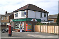
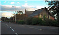
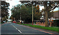
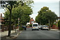
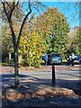
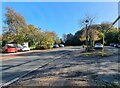
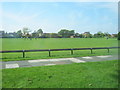
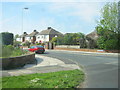


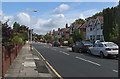

16 photos from this area
Area Information
Key information about the PR9 8PA including its size, population, and administrative classification.
- Area Type
- Postcode
- Area Size
- 5.3 hectares
- Population
- 1357
- Population Density
- 3295 people/km²
House Prices in PR9 8PA
52
Properties
£245,207
Average Sold Price
£136,500
Lowest Price
£410,000
Highest Price
Showing 52 properties
| Address | Type | Beds | Baths | Last Sale Price | Last Sale Date | |
|---|---|---|---|---|---|---|
| 93 Preston New Road, Southport, PR9 8PA | Detached | 4 | 1 | £292,500 | Sep 2024 | |
| 95 Preston New Road, Southport, PR9 8PA | Detached | 4 | 2 | £385,000 | Jun 2024 | |
| 81 Preston New Road, Southport, PR9 8PA | Detached | 3 | 1 | £300,000 | Feb 2024 | |
| 119 Preston New Road, Southport, PR9 8PA | Detached | 4 | 1 | £360,000 | Dec 2022 | |
| 55 Preston New Road, Southport, PR9 8PA | house | - | - | £205,000 | Aug 2021 | |
| 47 Preston New Road, Southport, PR9 8PA | Detached | 5 | 2 | £410,000 | Nov 2020 | |
| 49 Preston New Road, Southport, PR9 8PA | Semi-detached | 3 | 1 | £235,000 | Sep 2020 | |
| 63 Preston New Road, Southport, PR9 8PA | Semi-detached | 4 | 1 | £265,000 | Aug 2020 | |
| 115 Preston New Road, Southport, PR9 8PA | Semi-detached | 4 | 2 | £275,000 | Aug 2020 | |
| 101 Preston New Road, Southport, PR9 8PA | Detached | 3 | 1 | £280,000 | Jun 2020 |
Page 1 of 6
Energy Efficiency in PR9 8PA
Amenities
Schools
| Rank | School | Type | Entry gender | Ages |
|---|
Explore more schools in this area
Go to Schools tabDemographics
Household Size
Two person
most common
Accommodation Type
Houses
most common
Tenure
87
majority
Ethnic Group
White
most common
Religion
N/A
most common
Household Composition
N/A
most common
Age
47
median
Adults (30-64 years)
most common
Household Deprivation
N/A
with no deprivation
NS-SEC
40
in Lower managerial occupations
Explore more demographic insights in this area
Go to Demographics tabPlanning
Planning Constraints
- Flood RiskPremium
- Ramsar Wetland SitesPremium
- Area of Outstanding Natural BeautyPremium
- Protected Nature ReservePremium
- Protected WoodlandPremium