Area Overview for PR9 8ND
Photos of PR9 8ND
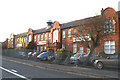
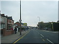
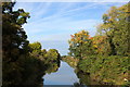
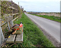
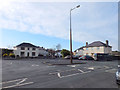
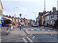
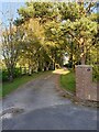
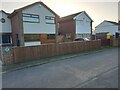
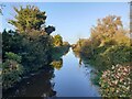
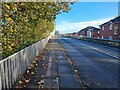
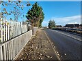
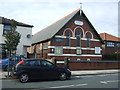
21 photos from this area
Area Information
Key information about the PR9 8ND including its size, population, and administrative classification.
- Area Type
- Postcode
- Area Size
- 2.4 hectares
- Population
- 1553
- Population Density
- 4087 people/km²
House Prices in PR9 8ND
86
Properties
£108,857
Average Sold Price
£38,000
Lowest Price
£195,000
Highest Price
Showing 86 properties
| Address | Type | Beds | Baths | Last Sale Price | Last Sale Date | |
|---|---|---|---|---|---|---|
| 48 Roselea Drive, Southport, PR9 8ND | Semi-detached | 3 | 1 | £185,000 | Aug 2025 | |
| 82 Roselea Drive, Southport, PR9 8ND | house | - | - | £185,000 | Apr 2025 | |
| 81 Roselea Drive, Southport, PR9 8ND | Semi-detached | 2 | 1 | £190,000 | Apr 2025 | |
| 9 Roselea Drive, Southport, PR9 8ND | Semi-detached | 3 | 1 | £166,500 | Mar 2025 | |
| 70 Roselea Drive, Southport, PR9 8ND | Semi-detached | 2 | 1 | £157,500 | Oct 2024 | |
| 62 Roselea Drive, Southport, PR9 8ND | Semi-detached | 2 | 1 | £137,500 | Nov 2023 | |
| 85 Roselea Drive, Southport, PR9 8ND | Semi-detached | 2 | 1 | £195,000 | Aug 2022 | |
| 37 Roselea Drive, Southport, PR9 8ND | house | - | - | £137,000 | Sep 2021 | |
| 11 Roselea Drive, Southport, PR9 8ND | house | 3 | 1 | £142,000 | Aug 2021 | |
| 10 Roselea Drive, Southport, PR9 8ND | house | - | - | £120,000 | Jul 2021 |
Page 1 of 9
Energy Efficiency in PR9 8ND
Amenities
Schools
| Rank | School | Type | Entry gender | Ages |
|---|
Explore more schools in this area
Go to Schools tabDemographics
Household Size
Family (3-5 people)
most common
Accommodation Type
Houses
most common
Tenure
74
majority
Ethnic Group
White
most common
Religion
N/A
most common
Household Composition
N/A
most common
Age
47
median
Adults (30-64 years)
most common
Household Deprivation
N/A
with no deprivation
NS-SEC
25
in Lower managerial occupations
Explore more demographic insights in this area
Go to Demographics tabPlanning
Planning Constraints
- Flood RiskPremium
- Ramsar Wetland SitesPremium
- Area of Outstanding Natural BeautyPremium
- Protected Nature ReservePremium
- Protected WoodlandPremium