Area Overview for PR9 8HX
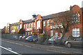
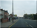
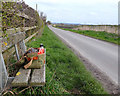
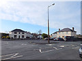
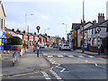
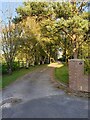
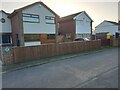
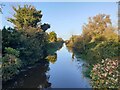
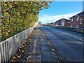
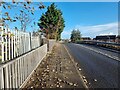
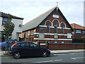
Photos of PR9 8HX

Area Information
Living in PR9 8HX offers a distinct residential experience within a very compact footprint. This specific postcode covers a small residential cluster measuring just 7,286 square metres yet supports a population of 1,553 people. The result is a location with significant density, where residents live in close proximity to one another. The community feels established rather than transient, anchored by a mix of established homes in a tightly packed environment. You experience daily life in a setting defined by its tight boundaries, which fosters a neighbourhood atmosphere where local routines intersect frequently. While the area is small, it functions as a complete living unit with access to wider transport networks and local services just outside its immediate limits. The character of PR9 8HX is practical and grounded, suited to those who prefer a settled community life over sprawling suburban space.
- Area Type
- Postcode
- Area Size
- 7286 m²
- Population
- 1553
- Population Density
- 4087 people/km²
The property market in PR9 8HX is defined by high tenure stability and a specific housing stock profile. With 74% home ownership, this is primarily an owner-occupied area where residents have likely maintained their properties for significant periods. Houses are the standard accommodation type, meaning you will find a collection of detached or semi-detached dwellings rather than blocks of flats or rental conversions. This lack of rental housing suggests a market driven by direct purchase and long-term residence. Buyers looking at homes in PR9 8HX should expect a stock suited to families or retirees who can secure mortgages and afford maintenance. The small area size of 7,286 square metres limits the volume of available properties, making each dwelling significant to the local housing supply. Your search for homes in this postcode will focus on existing stock rather than new developments or speculative rentals.
House Prices in PR9 8HX
Showing 39 properties
| Address | Type | Beds | Baths | Last Sale Price | Last Sale Date | |
|---|---|---|---|---|---|---|
| 47 Land Lane, Southport, PR9 8HX | Detached | 2 | 2 | £133,000 | May 2025 | |
| 51 Land Lane, Southport, PR9 8HX | Terraced | 3 | 1 | £145,000 | Jan 2025 | |
| 36 Land Lane, Southport, PR9 8HX | house | 2 | 1 | £95,000 | Jan 2025 | |
| 41 Land Lane, Southport, PR9 8HX | Semi-detached | 2 | 1 | £130,000 | Oct 2024 | |
| 52 Land Lane, Southport, PR9 8HX | Semi-detached | 2 | 1 | £106,000 | Nov 2022 | |
| 48 Land Lane, Southport, PR9 8HX | Semi-detached | 2 | - | £116,150 | Aug 2022 | |
| 30 Land Lane, Southport, PR9 8HX | Semi-detached | 2 | 1 | £115,000 | May 2022 | |
| 14 Land Lane, Southport, PR9 8HX | Terraced | 2 | 1 | £134,000 | Dec 2021 | |
| 56 Land Lane, Southport, PR9 8HX | Semi-detached | 2 | 1 | £117,500 | Sep 2021 | |
| 10 Land Lane, Southport, PR9 8HX | Terraced | 2 | 1 | £138,000 | Jul 2021 |
Energy Efficiency in PR9 8HX
Daily life in PR9 8HX benefits from practical access to local services and transport links just beyond the immediate boundary. Within practical reach, you can visit retail outlets such as Co-op Fylde, Tesco Churchtown, and Spar for your weekly shopping needs. The area has five notable retail locations nearby, ensuring you have options for groceries and daily essentials without extended travel. For commuters, public transport is accessible through five nearby railway stations including Meols Cop Railway Station, Southport Railway Station, and Bescar Lane Railway Station. You also have access to Warton Airport, offering another transport option for those needing to travel. This range of amenities supports a lifestyle where you can manage errands and occasional leisure trips efficiently. The combination of local shops and national retailers near PR9 8HX creates a convenient environment for managing household needs.
Amenities
Schools
| Rank | School | Type | Entry gender | Ages |
|---|
Explore more schools in this area
Go to Schools tabDemographics
The community in PR9 8HX reflects a mature demographic profile. The median age sits at 47 years, and the most common age range falls between 30 and 64 years. This suggests the area attracts adults who have settled down or are progressing through their family life stages. Home ownership is high at 74%, indicating that the majority of residents are established in their properties rather than renting. Houses form the predominant accommodation type, aligning with the needs and financial standing of this adult population. The predominant ethnic group is White, contributing to a culturally consistent community feel. These statistics portray a stable neighbourhood where long-term residents value stability and ownership. You can expect a resident base that is likely invested in the local Parish and benefits from the low crime risk associated with this age profile.
Household Size
Accommodation Type
Tenure
Ethnic Group
Religion
Household Composition
Age
Household Deprivation
NS-SEC
Explore more demographic insights in this area
Go to Demographics tabPlanning
Planning Constraints
- Flood RiskPremium
- Ramsar Wetland SitesPremium
- Area of Outstanding Natural BeautyPremium
- Protected Nature ReservePremium
- Protected WoodlandPremium