Area Overview for PR9 7TN
Photos of PR9 7TN
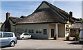
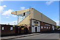
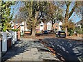
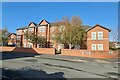
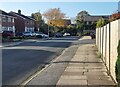
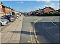
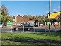
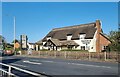
37 photos from this area
Area Information
Key information about the PR9 7TN including its size, population, and administrative classification.
- Area Type
- Postcode
- Area Size
- 1.9 hectares
- Population
- 1644
- Population Density
- 5950 people/km²
House Prices in PR9 7TN
12
Properties
£98,345
Average Sold Price
£44,950
Lowest Price
£141,000
Highest Price
Showing 12 properties
| Address | Type | Beds | Baths | Last Sale Price | Last Sale Date | |
|---|---|---|---|---|---|---|
| 196 Wennington Road, Southport, PR9 7TN | Semi-detached | 3 | 1 | £80,000 | Mar 2024 | |
| 184 Wennington Road, Southport, PR9 7TN | Semi-detached | 3 | 1 | £141,000 | Aug 2023 | |
| 190 Wennington Road, Southport, PR9 7TN | Semi-detached | 3 | 1 | £140,000 | Feb 2023 | |
| 186 Wennington Road, Southport, PR9 7TN | house | 3 | 1 | £123,000 | Aug 2017 | |
| 202 Wennington Road, Southport, PR9 7TN | house | - | - | £127,500 | Aug 2010 | |
| 188 Wennington Road, Southport, PR9 7TN | house | 3 | - | £128,000 | May 2005 | |
| 194 Wennington Road, Southport, PR9 7TN | Semi-detached | - | - | £94,500 | Oct 2003 | |
| 200 Wennington Road, Southport, PR9 7TN | Semi-detached | - | - | £44,950 | Apr 2001 | |
| 206 Wennington Road, Southport, PR9 7TN | Bungalow | - | - | £59,000 | Jan 2001 | |
| 204 Wennington Road, Southport, PR9 7TN | Semi-detached | - | - | £45,500 | Sep 1996 |
Page 1 of 2
Energy Efficiency in PR9 7TN
Amenities
Schools
| Rank | School | Type | Entry gender | Ages |
|---|
Explore more schools in this area
Go to Schools tabDemographics
Household Size
Family (3-5 people)
most common
Accommodation Type
Houses
most common
Tenure
70
majority
Ethnic Group
White
most common
Religion
N/A
most common
Household Composition
N/A
most common
Age
47
median
Adults (30-64 years)
most common
Household Deprivation
N/A
with no deprivation
NS-SEC
26
in Lower managerial occupations
Explore more demographic insights in this area
Go to Demographics tabPlanning
Planning Constraints
- Flood RiskPremium
- Ramsar Wetland SitesPremium
- Area of Outstanding Natural BeautyPremium
- Protected Nature ReservePremium
- Protected WoodlandPremium