Area Overview for PR9 7QL
Photos of PR9 7QL
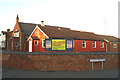
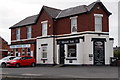
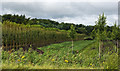
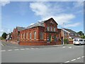
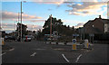
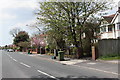
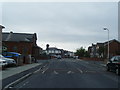
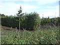
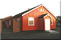
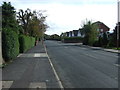
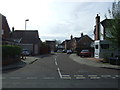
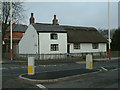
14 photos from this area
Area Information
Key information about the PR9 7QL including its size, population, and administrative classification.
- Area Type
- Postcode
- Area Size
- 1.5 hectares
- Population
- 1430
- Population Density
- 5396 people/km²
House Prices in PR9 7QL
48
Properties
£102,670
Average Sold Price
£44,500
Lowest Price
£175,250
Highest Price
Showing 48 properties
| Address | Type | Beds | Baths | Last Sale Price | Last Sale Date | |
|---|---|---|---|---|---|---|
| 68 High Park Road, Southport, PR9 7QL | Detached | 2 | 1 | £126,000 | Nov 2025 | |
| 50 High Park Road, Southport, PR9 7QL | Semi-detached | 3 | 1 | £172,000 | Mar 2025 | |
| 22 High Park Road, Southport, PR9 7QL | house | - | - | £175,250 | Nov 2022 | |
| 66 High Park Road, Southport, PR9 7QL | house | 2 | 1 | £166,000 | May 2022 | |
| 38 High Park Road, Southport, PR9 7QL | house | - | - | £125,000 | Apr 2021 | |
| 28 High Park Road, Southport, PR9 7QL | house | - | - | £130,000 | Apr 2021 | |
| 70 High Park Road, Southport, PR9 7QL | house | - | - | £135,000 | Nov 2020 | |
| 60 High Park Road, Southport, PR9 7QL | Semi-detached | 3 | - | £88,000 | Apr 2019 | |
| 24 High Park Road, Southport, PR9 7QL | house | - | - | £80,000 | Feb 2019 | |
| 10 High Park Road, Southport, PR9 7QL | Semi-detached | 3 | - | £100,000 | Nov 2018 |
Page 1 of 5
Energy Efficiency in PR9 7QL
Amenities
Schools
| Rank | School | Type | Entry gender | Ages |
|---|
Explore more schools in this area
Go to Schools tabDemographics
Household Size
Two person
most common
Accommodation Type
Houses
most common
Tenure
81
majority
Ethnic Group
White
most common
Religion
N/A
most common
Household Composition
N/A
most common
Age
47
median
Adults (30-64 years)
most common
Household Deprivation
N/A
with no deprivation
NS-SEC
38
in Lower managerial occupations
Explore more demographic insights in this area
Go to Demographics tabPlanning
Planning Constraints
- Flood RiskPremium
- Ramsar Wetland SitesPremium
- Area of Outstanding Natural BeautyPremium
- Protected Nature ReservePremium
- Protected WoodlandPremium