Area Overview for PR9 7AS
Photos of PR9 7AS
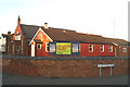
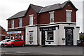
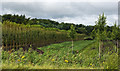
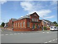
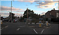
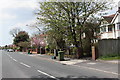
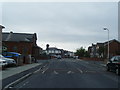
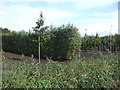
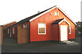
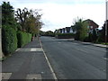
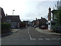
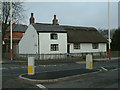
14 photos from this area
Area Information
Key information about the PR9 7AS including its size, population, and administrative classification.
- Area Type
- Postcode
- Area Size
- 1.9 hectares
- Population
- 1494
- Population Density
- 2469 people/km²
House Prices in PR9 7AS
71
Properties
£90,527
Average Sold Price
£28,500
Lowest Price
£180,000
Highest Price
Showing 71 properties
| Address | Type | Beds | Baths | Last Sale Price | Last Sale Date | |
|---|---|---|---|---|---|---|
| 106 Newton Street, Southport, PR9 7AS | Terraced | 3 | 1 | £165,000 | Oct 2024 | |
| 85 Newton Street, Southport, PR9 7AS | house | - | - | £60,000 | Jul 2024 | |
| 82 Newton Street, Southport, PR9 7AS | Semi-detached | 2 | 1 | £180,000 | Jul 2024 | |
| 129 Newton Street, Southport, PR9 7AS | Semi-detached | 2 | 1 | £120,000 | Aug 2023 | |
| 152 Newton Street, Southport, PR9 7AS | Terraced | 3 | 1 | £137,500 | Aug 2023 | |
| 100 Newton Street, Southport, PR9 7AS | Semi-detached | 2 | 1 | £160,000 | Apr 2023 | |
| 113 Newton Street, Southport, PR9 7AS | Semi-detached | 2 | - | £100,000 | Nov 2022 | |
| 75 Newton Street, Southport, PR9 7AS | Semi-detached | 2 | 1 | £102,500 | Jul 2022 | |
| 102 Newton Street, Southport, PR9 7AS | house | - | - | £115,000 | Jun 2022 | |
| 121 Newton Street, Southport, PR9 7AS | Semi-detached | 2 | 1 | £137,500 | May 2022 |
Page 1 of 8
Energy Efficiency in PR9 7AS
Amenities
Schools
| Rank | School | Type | Entry gender | Ages |
|---|
Explore more schools in this area
Go to Schools tabDemographics
Household Size
Family (3-5 people)
most common
Accommodation Type
Houses
most common
Tenure
70
majority
Ethnic Group
White
most common
Religion
N/A
most common
Household Composition
N/A
most common
Age
47
median
Adults (30-64 years)
most common
Household Deprivation
N/A
with no deprivation
NS-SEC
28
in Lower managerial occupations
Explore more demographic insights in this area
Go to Demographics tabPlanning
Planning Constraints
- Flood RiskPremium
- Ramsar Wetland SitesPremium
- Area of Outstanding Natural BeautyPremium
- Protected Nature ReservePremium
- Protected WoodlandPremium