Area Overview for PR9 0TN
Photos of PR9 0TN
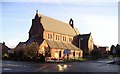
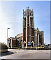
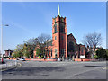
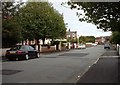
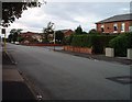
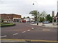
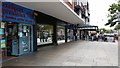
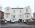
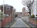
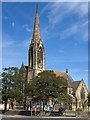
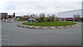

61 photos from this area
Area Information
Key information about the PR9 0TN including its size, population, and administrative classification.
- Area Type
- Postcode
- Area Size
- 1.4 hectares
- Population
- 1491
- Population Density
- 4717 people/km²
House Prices in PR9 0TN
55
Properties
£117,910
Average Sold Price
£43,000
Lowest Price
£250,000
Highest Price
Showing 55 properties
| Address | Type | Beds | Baths | Last Sale Price | Last Sale Date | |
|---|---|---|---|---|---|---|
| 30 Hawesside Street, Southport, PR9 0TN | house | 2 | 1 | £118,000 | May 2024 | |
| 22 Hawesside Street, Southport, PR9 0TN | house | - | - | £170,000 | Mar 2024 | |
| 8 Hawesside Street, Southport, PR9 0TN | Terraced | - | - | £160,000 | Mar 2024 | |
| 27 Hawesside Street, Southport, PR9 0TN | Semi-detached | 3 | 1 | £164,000 | Dec 2023 | |
| 17A Hawesside Street, Southport, PR9 0TN | Semi-detached | 1 | 1 | £68,000 | Jun 2023 | |
| 26 Hawesside Street, Southport, PR9 0TN | house | - | - | £150,000 | Oct 2022 | |
| 44 Hawesside Street, Southport, PR9 0TN | house | - | - | £162,500 | Jun 2021 | |
| 23 Hawesside Street, Southport, PR9 0TN | house | - | - | £157,000 | Jan 2021 | |
| 42 Hawesside Street, Southport, PR9 0TN | house | - | - | £145,000 | Jul 2016 | |
| 38 Hawesside Street, Southport, PR9 0TN | Semi-detached | 3 | 1 | £125,000 | Oct 2014 |
Page 1 of 6
Energy Efficiency in PR9 0TN
Amenities
Schools
| Rank | School | Type | Entry gender | Ages |
|---|
Explore more schools in this area
Go to Schools tabDemographics
Household Size
One person
most common
Accommodation Type
Houses
most common
Tenure
47
majority
Ethnic Group
White
most common
Religion
N/A
most common
Household Composition
N/A
most common
Age
47
median
Adults (30-64 years)
most common
Household Deprivation
N/A
with no deprivation
NS-SEC
21
in Lower managerial occupations
Explore more demographic insights in this area
Go to Demographics tabPlanning
Planning Constraints
- Flood RiskPremium
- Ramsar Wetland SitesPremium
- Area of Outstanding Natural BeautyPremium
- Protected Nature ReservePremium
- Protected WoodlandPremium