Area Overview for PR9 0SL
Photos of PR9 0SL
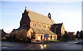
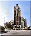
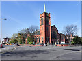
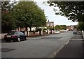
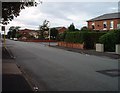
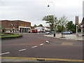
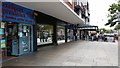
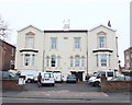
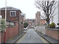
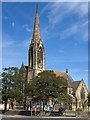
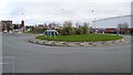

61 photos from this area
Area Information
Key information about the PR9 0SL including its size, population, and administrative classification.
- Area Type
- Postcode
- Area Size
- 9958 m²
- Population
- 1527
- Population Density
- 5499 people/km²
House Prices in PR9 0SL
30
Properties
£103,567
Average Sold Price
£37,000
Lowest Price
£148,000
Highest Price
Showing 30 properties
| Address | Type | Beds | Baths | Last Sale Price | Last Sale Date | |
|---|---|---|---|---|---|---|
| 97 Sussex Road, Southport, PR9 0SL | house | 3 | 1 | £148,000 | Nov 2022 | |
| 98A Sussex Road, Southport, PR9 0SL | Semi-detached | 2 | 1 | £100,000 | Jan 2020 | |
| 96 Sussex Road, Southport, PR9 0SL | Semi-detached | 3 | 1 | £139,500 | Jan 2015 | |
| 85 Sussex Road, Southport, PR9 0SL | house | 3 | - | £136,000 | Jul 2014 | |
| 101 Sussex Road, Southport, PR9 0SL | house | - | - | £144,000 | Apr 2014 | |
| 98 Sussex Road, Southport, PR9 0SL | house | 3 | - | £130,000 | Sep 2011 | |
| 89 Sussex Road, Southport, PR9 0SL | house | - | - | £130,000 | Oct 2009 | |
| 81 Sussex Road, Southport, PR9 0SL | house | 2 | 1 | £145,000 | Feb 2007 | |
| 90 Sussex Road, Southport, PR9 0SL | house | - | - | £110,000 | Mar 2004 | |
| 94 Sussex Road, Southport, PR9 0SL | Semi-detached | - | - | £92,000 | Jul 2003 |
Page 1 of 3
Energy Efficiency in PR9 0SL
Amenities
Schools
| Rank | School | Type | Entry gender | Ages |
|---|
Explore more schools in this area
Go to Schools tabDemographics
Household Size
One person
most common
Accommodation Type
Houses
most common
Tenure
60
majority
Ethnic Group
White
most common
Religion
N/A
most common
Household Composition
N/A
most common
Age
47
median
Adults (30-64 years)
most common
Household Deprivation
N/A
with no deprivation
NS-SEC
26
in Lower managerial occupations
Explore more demographic insights in this area
Go to Demographics tabPlanning
Planning Constraints
- Flood RiskPremium
- Ramsar Wetland SitesPremium
- Area of Outstanding Natural BeautyPremium
- Protected Nature ReservePremium
- Protected WoodlandPremium