Area Overview for PR9 0HP
Photos of PR9 0HP
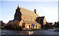
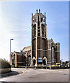
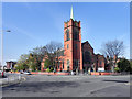
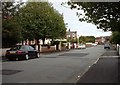
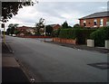
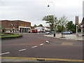
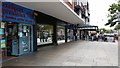
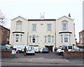
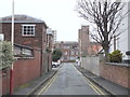
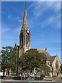
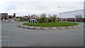
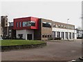
61 photos from this area
Area Information
Key information about the PR9 0HP including its size, population, and administrative classification.
- Area Type
- Postcode
- Area Size
- 1.6 hectares
- Population
- 1697
- Population Density
- 266 people/km²
House Prices in PR9 0HP
91
Properties
£345,938
Average Sold Price
£160,000
Lowest Price
£572,500
Highest Price
Showing 91 properties
| Address | Type | Beds | Baths | Last Sale Price | Last Sale Date | |
|---|---|---|---|---|---|---|
| 18A Saunders Street, Southport, PR9 0HP | Flat | - | - | £235,000 | Apr 2025 | |
| 17 Saunders Street, Southport, PR9 0HP | house | 5 | 2 | £485,000 | Nov 2024 | |
| 18 Saunders Street, Southport, PR9 0HP | house | 2 | 1 | £260,000 | Sep 2024 | |
| 21 Saunders Street, Southport, PR9 0HP | Semi-detached | 7 | 4 | £572,500 | Feb 2023 | |
| 16 Saunders Street, Southport, PR9 0HP | Detached | 5 | - | £525,000 | Sep 2021 | |
| 20 Saunders Street, Southport, PR9 0HP | house | - | - | £270,000 | Aug 2018 | |
| 7 Saunders Street, Southport, PR9 0HP | house | - | - | £260,000 | Dec 2005 | |
| 11 Saunders Street, Southport, PR9 0HP | house | - | - | £160,000 | Jun 2004 | |
| Flat 6, 23 Saunders Street, Southport, PR9 0HP | Flat | 1 | 1 | - | - | |
| Flat 8, The Willows, 9 Saunders Street, Southport, PR9 0HP | Flat | 1 | 1 | - | - |
Page 1 of 10
Energy Efficiency in PR9 0HP
Amenities
Schools
| Rank | School | Type | Entry gender | Ages |
|---|
Explore more schools in this area
Go to Schools tabDemographics
Household Size
One person
most common
Accommodation Type
Flats
most common
Tenure
27
majority
Ethnic Group
White
most common
Religion
N/A
most common
Household Composition
N/A
most common
Age
47
median
Adults (30-64 years)
most common
Household Deprivation
N/A
with no deprivation
NS-SEC
23
in Lower managerial occupations
Explore more demographic insights in this area
Go to Demographics tabPlanning
Planning Constraints
- Flood RiskPremium
- Ramsar Wetland SitesPremium
- Area of Outstanding Natural BeautyPremium
- Protected Nature ReservePremium
- Protected WoodlandPremium