Area Overview for PR8 6SG
Photos of PR8 6SG
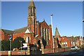
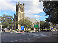
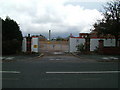
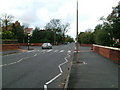
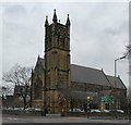
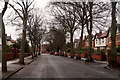

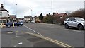
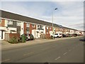
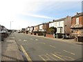
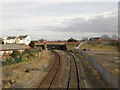
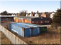
56 photos from this area
Area Information
Key information about the PR8 6SG including its size, population, and administrative classification.
- Area Type
- Postcode
- Area Size
- 6465 m²
- Population
- 1849
- Population Density
- 5752 people/km²
House Prices in PR8 6SG
17
Properties
£133,850
Average Sold Price
£57,950
Lowest Price
£205,000
Highest Price
Showing 17 properties
| Address | Type | Beds | Baths | Last Sale Price | Last Sale Date | |
|---|---|---|---|---|---|---|
| 30 Sefton Street, Southport, PR8 6SG | Semi-detached | 3 | 1 | £145,000 | Jun 2018 | |
| 29 Sefton Street, Southport, PR8 6SG | house | - | - | £185,000 | Jun 2014 | |
| 36 Sefton Street, Southport, PR8 6SG | Detached | 4 | - | £205,000 | Sep 2013 | |
| 32 Sefton Street, Southport, PR8 6SG | Semi-detached | 3 | 1 | £189,000 | Jan 2008 | |
| 25 Sefton Street, Southport, PR8 6SG | house | - | - | £77,500 | Nov 2002 | |
| 23 Sefton Street, Southport, PR8 6SG | Semi-detached | - | - | £77,500 | Nov 2002 | |
| 31 Sefton Street, Southport, PR8 6SG | house | - | - | £57,950 | Oct 1997 | |
| 38 Sefton Street, Southport, PR8 6SG | Detached | 3 | 1 | - | - | |
| 27 Sefton Street, Southport, PR8 6SG | Retail | 2 | 1 | - | - | |
| 34A Sefton Street, Southport, PR8 6SG | Semi-detached | - | - | - | - |
Page 1 of 2
Energy Efficiency in PR8 6SG
Amenities
Schools
| Rank | School | Type | Entry gender | Ages |
|---|
Explore more schools in this area
Go to Schools tabDemographics
Household Size
One person
most common
Accommodation Type
Houses
most common
Tenure
55
majority
Ethnic Group
White
most common
Religion
N/A
most common
Household Composition
N/A
most common
Age
47
median
Adults (30-64 years)
most common
Household Deprivation
N/A
with no deprivation
NS-SEC
30
in Lower managerial occupations
Explore more demographic insights in this area
Go to Demographics tabPlanning
Planning Constraints
- Flood RiskPremium
- Ramsar Wetland SitesPremium
- Area of Outstanding Natural BeautyPremium
- Protected Nature ReservePremium
- Protected WoodlandPremium