Area Overview for PR8 5DF
Photos of PR8 5DF
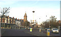
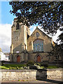
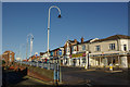
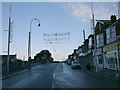
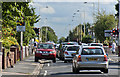
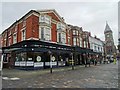
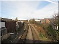
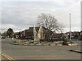
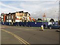
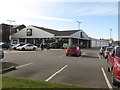
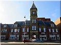
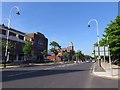
69 photos from this area
Area Information
Key information about the PR8 5DF including its size, population, and administrative classification.
- Area Type
- Postcode
- Area Size
- 1.1 hectares
- Population
- 1764
- Population Density
- 5976 people/km²
House Prices in PR8 5DF
44
Properties
£112,685
Average Sold Price
£20,000
Lowest Price
£210,000
Highest Price
Showing 44 properties
| Address | Type | Beds | Baths | Last Sale Price | Last Sale Date | |
|---|---|---|---|---|---|---|
| 132 Linaker Street, Southport, PR8 5DF | house | 3 | 1 | £210,000 | Dec 2024 | |
| 139 Linaker Street, Southport, PR8 5DF | Semi-detached | 2 | 1 | £165,000 | Jun 2024 | |
| 119 Linaker Street, Southport, PR8 5DF | house | - | - | £175,000 | Feb 2024 | |
| 119B Linaker Street, Southport, PR8 5DF | Flat | - | - | £110,000 | Jul 2023 | |
| 143 Linaker Street, Southport, PR8 5DF | house | 2 | 2 | £177,000 | Oct 2022 | |
| 133 Linaker Street, Southport, PR8 5DF | house | - | - | £200,000 | Sep 2021 | |
| 131A Linaker Street, Southport, PR8 5DF | Flat | - | - | £85,000 | Nov 2019 | |
| 142 Linaker Street, Southport, PR8 5DF | house | 2 | - | £150,000 | May 2019 | |
| 154 Linaker Street, Southport, PR8 5DF | Semi-detached | 3 | 1 | £143,000 | Mar 2019 | |
| 136 Linaker Street, Southport, PR8 5DF | Semi-detached | 2 | 1 | £115,000 | Feb 2018 |
Page 1 of 5
Energy Efficiency in PR8 5DF
Amenities
Schools
| Rank | School | Type | Entry gender | Ages |
|---|
Explore more schools in this area
Go to Schools tabDemographics
Household Size
Family (3-5 people)
most common
Accommodation Type
Houses
most common
Tenure
50
majority
Ethnic Group
White
most common
Religion
N/A
most common
Household Composition
N/A
most common
Age
47
median
Adults (30-64 years)
most common
Household Deprivation
N/A
with no deprivation
NS-SEC
26
in Lower managerial occupations
Explore more demographic insights in this area
Go to Demographics tabPlanning
Planning Constraints
- Flood RiskPremium
- Ramsar Wetland SitesPremium
- Area of Outstanding Natural BeautyPremium
- Protected Nature ReservePremium
- Protected WoodlandPremium