Area Overview for PR8 4NY
Photos of PR8 4NY
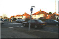
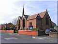
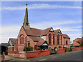
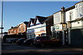
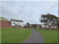
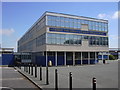
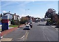
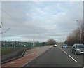
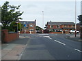
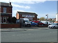
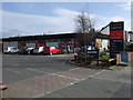
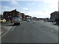
15 photos from this area
Area Information
Key information about the PR8 4NY including its size, population, and administrative classification.
- Area Type
- Postcode
- Area Size
- 1.5 hectares
- Population
- 1438
- Population Density
- 3619 people/km²
House Prices in PR8 4NY
26
Properties
£151,931
Average Sold Price
£39,000
Lowest Price
£375,000
Highest Price
Showing 26 properties
| Address | Type | Beds | Baths | Last Sale Price | Last Sale Date | |
|---|---|---|---|---|---|---|
| 168 Liverpool Road, Birkdale, PR8 4NY | Semi-detached | 4 | 2 | £375,000 | Oct 2023 | |
| 162 Liverpool Road, Birkdale, PR8 4NY | house | - | - | £282,500 | Feb 2020 | |
| 188 Liverpool Road, Birkdale, PR8 4NY | house | 3 | - | £171,000 | Jun 2011 | |
| 194A Liverpool Road, Birkdale, PR8 4NY | Terraced | - | - | £130,000 | Jan 2003 | |
| 182 Liverpool Road, Birkdale, PR8 4NY | Semi-detached | - | - | £79,950 | Sep 2000 | |
| 172 Liverpool Road, Birkdale, PR8 4NY | Semi-detached | - | - | £60,000 | Jan 2000 | |
| 170 Liverpool Road, Birkdale, PR8 4NY | Semi-detached | - | - | £78,000 | Jan 1997 | |
| 180 Liverpool Road, Birkdale, PR8 4NY | Semi-detached | - | - | £39,000 | May 1995 | |
| Flat 5, 190-192 Liverpool Road, Birkdale, PR8 4NY | Flat | 2 | 2 | - | - | |
| 39B, Site Of Birkdale Trading Estate, 174 Liverpool Road, Birkdale, PR8 4NY | undefined | - | - | - | - |
Page 1 of 3
Energy Efficiency in PR8 4NY
Amenities
Schools
| Rank | School | Type | Entry gender | Ages |
|---|
Explore more schools in this area
Go to Schools tabDemographics
Household Size
Family (3-5 people)
most common
Accommodation Type
Houses
most common
Tenure
82
majority
Ethnic Group
White
most common
Religion
N/A
most common
Household Composition
N/A
most common
Age
47
median
Adults (30-64 years)
most common
Household Deprivation
N/A
with no deprivation
NS-SEC
49
in Lower managerial occupations
Explore more demographic insights in this area
Go to Demographics tabPlanning
Planning Constraints
- Flood RiskPremium
- Ramsar Wetland SitesPremium
- Area of Outstanding Natural BeautyPremium
- Protected Nature ReservePremium
- Protected WoodlandPremium