Area Overview for PR8 4EE
Photos of PR8 4EE
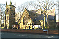
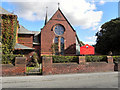
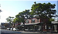
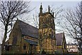
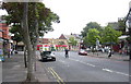
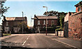
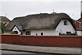
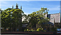
56 photos from this area
Area Information
Key information about the PR8 4EE including its size, population, and administrative classification.
- Area Type
- Postcode
- Area Size
- 1.4 hectares
- Population
- 1680
- Population Density
- 2529 people/km²
House Prices in PR8 4EE
26
Properties
£119,380
Average Sold Price
£59,950
Lowest Price
£186,500
Highest Price
Showing 26 properties
| Address | Type | Beds | Baths | Last Sale Price | Last Sale Date | |
|---|---|---|---|---|---|---|
| 21 Compton Road, Birkdale, PR8 4EE | Detached | 3 | 1 | £186,500 | Jul 2025 | |
| 31 Compton Road, Birkdale, PR8 4EE | house | - | - | £136,000 | Aug 2021 | |
| 19 Compton Road, Birkdale, PR8 4EE | Semi-detached | 3 | 1 | £138,000 | Mar 2018 | |
| 1 Compton Road, Birkdale, PR8 4EE | Semi-detached | 2 | 1 | £150,000 | Jul 2017 | |
| 37 Compton Road, Birkdale, PR8 4EE | house | 3 | 2 | £145,000 | Nov 2016 | |
| 11 Compton Road, Birkdale, PR8 4EE | Semi-detached | 4 | - | £127,500 | Mar 2016 | |
| 13 Compton Road, Birkdale, PR8 4EE | Terraced | 2 | 1 | £116,000 | Oct 2014 | |
| 5 Compton Road, Birkdale, PR8 4EE | house | - | - | £108,000 | Dec 2012 | |
| 29 Compton Road, Birkdale, PR8 4EE | house | - | - | £103,000 | Jul 2010 | |
| 15 Compton Road, Birkdale, PR8 4EE | house | - | - | £110,000 | Mar 2007 |
Page 1 of 3
Energy Efficiency in PR8 4EE
Amenities
Schools
| Rank | School | Type | Entry gender | Ages |
|---|
Explore more schools in this area
Go to Schools tabDemographics
Household Size
Family (3-5 people)
most common
Accommodation Type
Houses
most common
Tenure
61
majority
Ethnic Group
White
most common
Religion
N/A
most common
Household Composition
N/A
most common
Age
47
median
Adults (30-64 years)
most common
Household Deprivation
N/A
with no deprivation
NS-SEC
25
in Lower managerial occupations
Explore more demographic insights in this area
Go to Demographics tabPlanning
Planning Constraints
- Flood RiskPremium
- Ramsar Wetland SitesPremium
- Area of Outstanding Natural BeautyPremium
- Protected Nature ReservePremium
- Protected WoodlandPremium