Area Overview for PR7 6HB
Photos of PR7 6HB
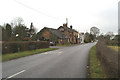
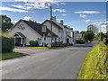
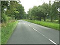
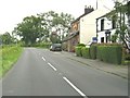
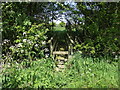
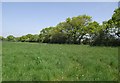
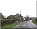
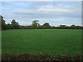
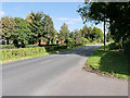
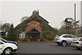
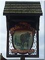
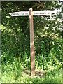
12 photos from this area
Area Information
Key information about the PR7 6HB including its size, population, and administrative classification.
- Area Type
- Postcode
- Area Size
- 27.7 hectares
- Population
- 1210
- Population Density
- 360 people/km²
House Prices in PR7 6HB
11
Properties
£481,125
Average Sold Price
£249,999
Lowest Price
£712,500
Highest Price
Showing 11 properties
| Address | Type | Beds | Baths | Last Sale Price | Last Sale Date | |
|---|---|---|---|---|---|---|
| Pippins, Runshaw Lane, Euxton, PR7 6HB | Bungalow | 5 | 2 | £512,000 | Jun 2025 | |
| Bournes Barn, Runshaw Lane, Euxton, PR7 6HB | Semi-detached | 4 | 4 | £712,500 | Jan 2024 | |
| Mayfield, Runshaw Lane, Euxton, PR7 6HB | Bungalow | 3 | 1 | £450,000 | Jun 2022 | |
| Little Orchard, Runshaw Lane, Euxton, PR7 6HB | Detached | - | - | £249,999 | Jul 2006 | |
| Woodcock Farm, Runshaw Lane, Euxton, PR7 6HB | Land | - | - | - | - | |
| Woodcock Farm Lodge, Runshaw Lane, Euxton, PR7 6HB | Detached | - | - | - | - | |
| White Hart Cottage, Runshaw Lane, Euxton, PR7 6HB | Detached | - | - | - | - | |
| Woodcock Barn, Runshaw Lane, Euxton, PR7 6HB | Detached | - | - | - | - | |
| Bournes Farm, Runshaw Lane, Euxton, PR7 6HB | Detached | - | - | - | - | |
| Cardrona, Runshaw Lane, Euxton, PR7 6HB | Detached | - | - | - | - |
Page 1 of 2
Energy Efficiency in PR7 6HB
Amenities
Schools
| Rank | School | Type | Entry gender | Ages |
|---|
Explore more schools in this area
Go to Schools tabDemographics
Household Size
Two person
most common
Accommodation Type
Houses
most common
Tenure
92
majority
Ethnic Group
White
most common
Religion
N/A
most common
Household Composition
N/A
most common
Age
47
median
Adults (30-64 years)
most common
Household Deprivation
N/A
with no deprivation
NS-SEC
38
in Lower managerial occupations
Explore more demographic insights in this area
Go to Demographics tabPlanning
Planning Constraints
- Flood RiskPremium
- Ramsar Wetland SitesPremium
- Area of Outstanding Natural BeautyPremium
- Protected Nature ReservePremium
- Protected WoodlandPremium