Area Overview for PR7 5LY
Photos of PR7 5LY
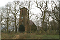
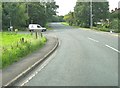
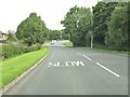
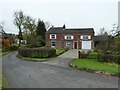
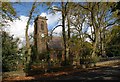
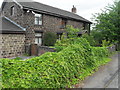
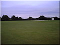
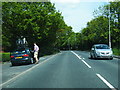
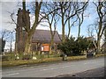
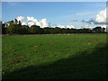
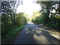
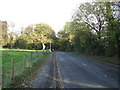
14 photos from this area
Area Information
Key information about the PR7 5LY including its size, population, and administrative classification.
- Area Type
- Postcode
- Area Size
- 4281 m²
- Population
- 1436
- Population Density
- 386 people/km²
House Prices in PR7 5LY
9
Properties
£207,786
Average Sold Price
£86,000
Lowest Price
£362,500
Highest Price
Showing 9 properties
| Address | Type | Beds | Baths | Last Sale Price | Last Sale Date | |
|---|---|---|---|---|---|---|
| 63 Charter Lane, Charnock Richard, PR7 5LY | Semi-detached | 2 | 1 | £205,000 | Apr 2025 | |
| 57 Charter Lane, Charnock Richard, PR7 5LY | Terraced | 3 | 1 | £213,000 | Dec 2021 | |
| 59 Charter Lane, Charnock Richard, PR7 5LY | Terraced | 2 | 1 | £120,000 | Jan 2021 | |
| 73 Charter Lane, Charnock Richard, PR7 5LY | Detached | 5 | 2 | £362,500 | Oct 2020 | |
| 61 Charter Lane, Charnock Richard, PR7 5LY | house | 2 | - | £143,000 | Dec 2019 | |
| 71 Charter Lane, Charnock Richard, PR7 5LY | Semi-detached | 3 | 2 | £325,000 | Dec 2008 | |
| 65 Charter Lane, Charnock Richard, PR7 5LY | Semi-detached | - | - | £86,000 | May 1999 | |
| 69 Charter Lane, Charnock Richard, PR7 5LY | Detached | - | - | - | - | |
| Formerly 69 Plot 1, Charter Lane, Charnock Richard, PR7 5LY | Detached | - | - | - | - |
Energy Efficiency in PR7 5LY
Amenities
Schools
| Rank | School | Type | Entry gender | Ages |
|---|
Explore more schools in this area
Go to Schools tabDemographics
Household Size
Two person
most common
Accommodation Type
Houses
most common
Tenure
84
majority
Ethnic Group
White
most common
Religion
N/A
most common
Household Composition
N/A
most common
Age
47
median
Adults (30-64 years)
most common
Household Deprivation
N/A
with no deprivation
NS-SEC
36
in Lower managerial occupations
Explore more demographic insights in this area
Go to Demographics tabPlanning
Planning Constraints
- Flood RiskPremium
- Ramsar Wetland SitesPremium
- Area of Outstanding Natural BeautyPremium
- Protected Nature ReservePremium
- Protected WoodlandPremium