Area Overview for PR7 3NQ
Photos of PR7 3NQ
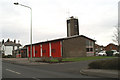
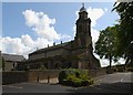
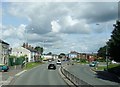
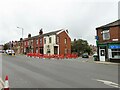
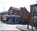
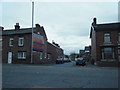
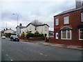
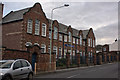
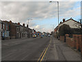
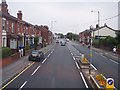
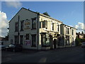
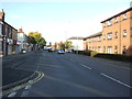
27 photos from this area
Area Information
Key information about the PR7 3NQ including its size, population, and administrative classification.
- Area Type
- Postcode
- Area Size
- 2.0 hectares
- Population
- 1890
- Population Density
- 6448 people/km²
House Prices in PR7 3NQ
32
Properties
£112,729
Average Sold Price
£25,000
Lowest Price
£225,000
Highest Price
Showing 32 properties
| Address | Type | Beds | Baths | Last Sale Price | Last Sale Date | |
|---|---|---|---|---|---|---|
| 49 Weldbank Lane, Chorley, PR7 3NQ | Semi-detached | 5 | 1 | £225,000 | Nov 2024 | |
| 64 Weldbank Lane, Chorley, PR7 3NQ | Terraced | 3 | 2 | £152,000 | Apr 2024 | |
| 47 Weldbank Lane, Chorley, PR7 3NQ | Semi-detached | 3 | 2 | £125,000 | Mar 2020 | |
| 78 Weldbank Lane, Chorley, PR7 3NQ | Terraced | 3 | 1 | £145,000 | Sep 2019 | |
| 86A Weldbank Lane, Chorley, PR7 3NQ | Terraced | 2 | 1 | £80,000 | Aug 2019 | |
| 76 Weldbank Lane, Chorley, PR7 3NQ | Terraced | 3 | 1 | £118,000 | Jul 2015 | |
| 54 Weldbank Lane, Chorley, PR7 3NQ | Terraced | 3 | 1 | £115,000 | Jun 2015 | |
| 68 Weldbank Lane, Chorley, PR7 3NQ | house | - | - | £105,000 | May 2013 | |
| 48 Weldbank Lane, Chorley, PR7 3NQ | Terraced | 3 | 1 | £80,000 | Dec 2011 | |
| 72 Weldbank Lane, Chorley, PR7 3NQ | house | - | - | £100,000 | Apr 2011 |
Page 1 of 4
Energy Efficiency in PR7 3NQ
Amenities
Schools
| Rank | School | Type | Entry gender | Ages |
|---|
Explore more schools in this area
Go to Schools tabDemographics
Household Size
One person
most common
Accommodation Type
Houses
most common
Tenure
47
majority
Ethnic Group
White
most common
Religion
N/A
most common
Household Composition
N/A
most common
Age
47
median
Adults (30-64 years)
most common
Household Deprivation
N/A
with no deprivation
NS-SEC
22
in Lower managerial occupations
Explore more demographic insights in this area
Go to Demographics tabPlanning
Planning Constraints
- Flood RiskPremium
- Ramsar Wetland SitesPremium
- Area of Outstanding Natural BeautyPremium
- Protected Nature ReservePremium
- Protected WoodlandPremium