Area Overview for PR7 1ES
Photos of PR7 1ES
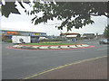
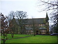
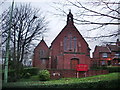
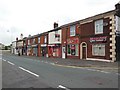
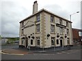
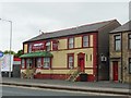
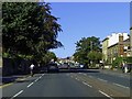
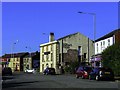
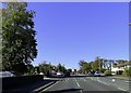
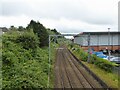
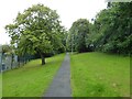
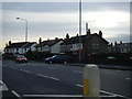
29 photos from this area
Area Information
Key information about the PR7 1ES including its size, population, and administrative classification.
- Area Type
- Postcode
- Area Size
- 9356 m²
- Population
- 1406
- Population Density
- 5428 people/km²
House Prices in PR7 1ES
37
Properties
£89,147
Average Sold Price
£25,500
Lowest Price
£141,500
Highest Price
Showing 37 properties
| Address | Type | Beds | Baths | Last Sale Price | Last Sale Date | |
|---|---|---|---|---|---|---|
| 22 Parker Street, Chorley, PR7 1ES | house | 2 | 1 | £141,500 | Feb 2025 | |
| 24 Parker Street, Chorley, PR7 1ES | house | 2 | 1 | £92,000 | Sep 2022 | |
| 18 Parker Street, Chorley, PR7 1ES | Terraced | 2 | 1 | £110,000 | Apr 2022 | |
| 2 Parker Street, Chorley, PR7 1ES | Maisonette | - | - | £122,500 | Dec 2021 | |
| 6 Parker Street, Chorley, PR7 1ES | Terraced | 3 | 1 | £90,000 | Jan 2020 | |
| 30 Parker Street, Chorley, PR7 1ES | Terraced | 3 | 1 | £86,500 | Jun 2016 | |
| 4 Parker Street, Chorley, PR7 1ES | Terraced | 2 | 1 | £132,500 | Nov 2015 | |
| 12 Parker Street, Chorley, PR7 1ES | Terraced | 2 | - | £60,000 | Mar 2014 | |
| 46 Parker Street, Chorley, PR7 1ES | Terraced | 4 | 1 | £100,000 | Jun 2012 | |
| 8A Parker Street, Chorley, PR7 1ES | Detached | 2 | 1 | £135,000 | Sep 2010 |
Page 1 of 4
Energy Efficiency in PR7 1ES
Amenities
Schools
| Rank | School | Type | Entry gender | Ages |
|---|
Explore more schools in this area
Go to Schools tabDemographics
Household Size
One person
most common
Accommodation Type
Houses
most common
Tenure
61
majority
Ethnic Group
White
most common
Religion
N/A
most common
Household Composition
N/A
most common
Age
47
median
Adults (30-64 years)
most common
Household Deprivation
N/A
with no deprivation
NS-SEC
27
in Lower managerial occupations
Explore more demographic insights in this area
Go to Demographics tabPlanning
Planning Constraints
- Flood RiskPremium
- Ramsar Wetland SitesPremium
- Area of Outstanding Natural BeautyPremium
- Protected Nature ReservePremium
- Protected WoodlandPremium