Area Overview for PR6 7TG
Photos of PR6 7TG
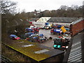
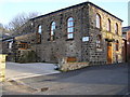
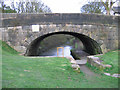
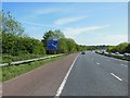
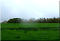
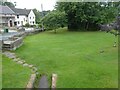
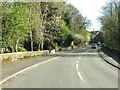
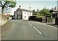
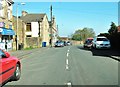
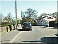
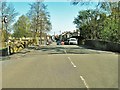
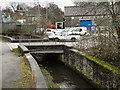
28 photos from this area
Area Information
Key information about the PR6 7TG including its size, population, and administrative classification.
- Area Type
- Postcode
- Area Size
- 3.1 hectares
- Population
- 1845
- Population Density
- 1041 people/km²
House Prices in PR6 7TG
35
Properties
£193,057
Average Sold Price
£5,000
Lowest Price
£360,000
Highest Price
Showing 35 properties
| Address | Type | Beds | Baths | Last Sale Price | Last Sale Date | |
|---|---|---|---|---|---|---|
| 28 Delph Way, Whittle Le Woods, PR6 7TG | Detached | 4 | 3 | £360,000 | Jul 2024 | |
| 22 Delph Way, Whittle Le Woods, PR6 7TG | Detached | - | - | £5,000 | Apr 2023 | |
| 9 Delph Way, Whittle Le Woods, PR6 7TG | Detached | 5 | 3 | £322,500 | May 2019 | |
| 7 Delph Way, Whittle Le Woods, PR6 7TG | Detached | 4 | 3 | £325,000 | Mar 2018 | |
| 18 Delph Way, Whittle Le Woods, PR6 7TG | Detached | 4 | - | £319,000 | Aug 2017 | |
| 6 Delph Way, Whittle Le Woods, PR6 7TG | Detached | 4 | 3 | £262,000 | May 2017 | |
| 27 Delph Way, Whittle Le Woods, PR6 7TG | Detached | 4 | - | £260,000 | Nov 2016 | |
| 35 Delph Way, Whittle Le Woods, PR6 7TG | Detached | 5 | - | £290,000 | Aug 2016 | |
| 10 Delph Way, Whittle Le Woods, PR6 7TG | Bungalow | 3 | - | £235,000 | Aug 2015 | |
| 17 Delph Way, Whittle Le Woods, PR6 7TG | Detached | 4 | 3 | £245,000 | Nov 2014 |
Page 1 of 4
Energy Efficiency in PR6 7TG
Amenities
Schools
| Rank | School | Type | Entry gender | Ages |
|---|
Explore more schools in this area
Go to Schools tabDemographics
Household Size
Family (3-5 people)
most common
Accommodation Type
Houses
most common
Tenure
79
majority
Ethnic Group
White
most common
Religion
N/A
most common
Household Composition
N/A
most common
Age
47
median
Adults (30-64 years)
most common
Household Deprivation
N/A
with no deprivation
NS-SEC
45
in Lower managerial occupations
Explore more demographic insights in this area
Go to Demographics tabPlanning
Planning Constraints
- Flood RiskPremium
- Ramsar Wetland SitesPremium
- Area of Outstanding Natural BeautyPremium
- Protected Nature ReservePremium
- Protected WoodlandPremium