Area Overview for PR6 0TY
Photos of PR6 0TY
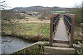
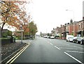
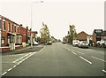
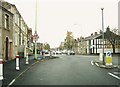
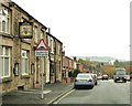
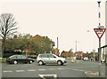
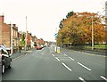
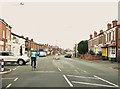
72 photos from this area
Area Information
Key information about the PR6 0TY including its size, population, and administrative classification.
- Area Type
- Postcode
- Area Size
- 2336 m²
- Population
- 2438
- Population Density
- 1092 people/km²
House Prices in PR6 0TY
10
Properties
£98,813
Average Sold Price
£53,000
Lowest Price
£135,000
Highest Price
Showing 10 properties
| Address | Type | Beds | Baths | Last Sale Price | Last Sale Date | |
|---|---|---|---|---|---|---|
| 7 The Causeway, Chorley, PR6 0TY | Semi-detached | 2 | 1 | £124,000 | Feb 2020 | |
| 4 The Causeway, Chorley, PR6 0TY | Semi-detached | 3 | - | £124,000 | Jul 2018 | |
| 9 The Causeway, Chorley, PR6 0TY | Semi-detached | - | - | £112,000 | Aug 2012 | |
| 10 The Causeway, Chorley, PR6 0TY | Semi-detached | 3 | 1 | £135,000 | Feb 2006 | |
| 5 The Causeway, Chorley, PR6 0TY | Semi-detached | - | - | £57,000 | Dec 2005 | |
| 8 The Causeway, Chorley, PR6 0TY | Semi-detached | 2 | 1 | £113,000 | Apr 2005 | |
| 2 The Causeway, Chorley, PR6 0TY | Semi-detached | - | - | £72,500 | Apr 2003 | |
| 1 The Causeway, Chorley, PR6 0TY | Semi-detached | 3 | 1 | £53,000 | Nov 2000 | |
| 6 The Causeway, Chorley, PR6 0TY | Semi-detached | - | - | - | - | |
| 3 The Causeway, Chorley, PR6 0TY | Semi-detached | - | - | - | - |
Energy Efficiency in PR6 0TY
Amenities
Schools
| Rank | School | Type | Entry gender | Ages |
|---|
Explore more schools in this area
Go to Schools tabDemographics
Household Size
Family (3-5 people)
most common
Accommodation Type
Houses
most common
Tenure
57
majority
Ethnic Group
White
most common
Religion
N/A
most common
Household Composition
N/A
most common
Age
47
median
Adults (30-64 years)
most common
Household Deprivation
N/A
with no deprivation
NS-SEC
29
in Lower managerial occupations
Explore more demographic insights in this area
Go to Demographics tabPlanning
Planning Constraints
- Flood RiskPremium
- Ramsar Wetland SitesPremium
- Area of Outstanding Natural BeautyPremium
- Protected Nature ReservePremium
- Protected WoodlandPremium